On This Page
What an accuracy number actually describes
Ground sampling distance (GSD) describes image sampling: the spacing between
neighboring pixel centers on the ground. At 2 cm GSD, that spacing is 2 cm. It
does not mean that every mapped coordinate is within 2 cm of its true position.
Flight height, camera geometry, terrain elevation, and camera angle affect GSD;
a project average can conceal coarser sampling in part of the site.
PIX4D's GSD documentation
explains those relationships.
Relative accuracy concerns geometry within the reconstruction, such as the
separation of two features. Absolute accuracy concerns where the
reconstruction sits in the specified coordinate reference system. A model can
preserve distances while the whole site is shifted relative to an engineering
drawing.
PIX4D gives a general relative-error expectation of one to three times the
original-image GSD for a correctly scaled and reconstructed project. With an
assumed 2 cm GSD, multiplying by that guidance gives 2–6 cm. This is an
illustrative planning calculation, not a measured RMSE or a confidence interval.
PIX4D also warns that ordinary onboard GNSS without precise ground control can
leave absolute positioning errors of a few meters.
Its accuracy guidance
distinguishes these cases.
Keep the horizontal and vertical requirements separate. A useful plan-view
orthomosaic does not establish that the elevation model can resolve a shallow
drainage slope. The specified surface matters too: the top of vegetation and the
ground beneath it are different measurement targets.
How the photogrammetry workflow creates accuracy
Photogrammetry reconstructs geometry by finding the same visible features in
overlapping photographs. The processing estimates camera positions,
orientations, and calibration parameters, then produces three-dimensional points
and derived maps. In a typical structure-from-motion workflow, camera
calibration and scene reconstruction are solved together. Flight design
therefore affects the geometry of the solution, not just area coverage.
The
USGS calibration guidelines
explain why ground control, image geometry, and processing must be treated as
one system. A commercial workflow should close these steps in order:
- Define the measurement. Name the feature or surface, allowable horizontal
and vertical error, coordinate system, elevation reference, and area to be
delivered. Identify the downstream GIS or design software before capture.
- Design capture around the terrain. Choose image scale and overlapping
views that cover the required surfaces. Check expected sampling over high and
low ground. USGS discusses crossed flight directions as a way to strengthen
calibration; its specific flight design is guidance for that method, not a
universal recipe.
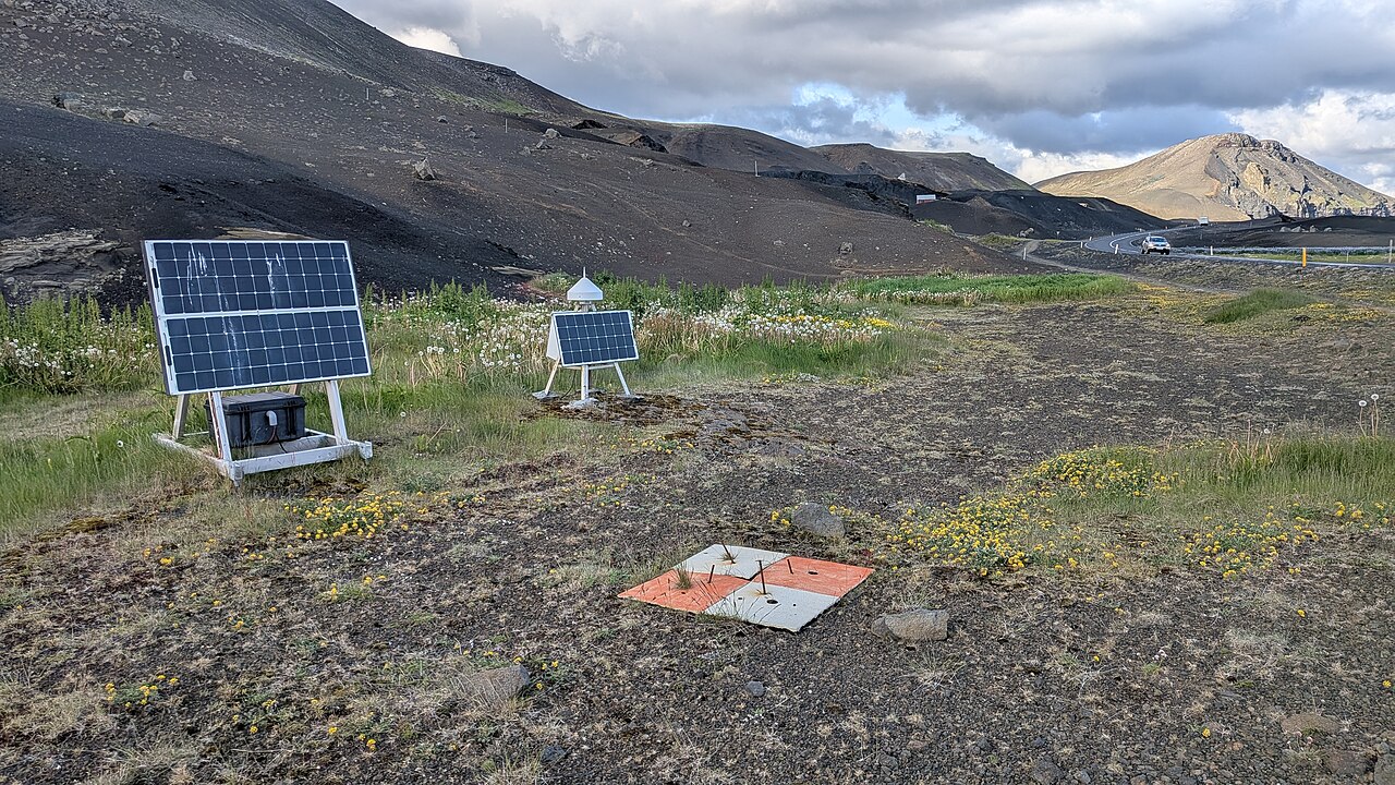
- Establish positioning and ground references. Ground control points (GCPs)
have surveyed coordinates used to constrain the model. Real-time kinematic
(RTK) or post-processed kinematic (PPK) positioning can provide more precise
camera locations. Neither removes the need to demonstrate the delivered
result's accuracy.
- Reserve independent checks. Decide which surveyed points will be used for
testing before optimizing the model. Distribute them across relevant parts of
the site rather than choosing only convenient, easy-to-image locations.
- Process and inspect. Review calibration, image alignment, coverage,
point-cloud artifacts, and the actual exported products. Retain the
processing version and settings needed to explain or reproduce the result.
- Measure errors and hand over the evidence. Deliver checkpoint
comparisons, reference-survey information, exceptions, and files that import
in the agreed coordinate system and units.
USGS emphasizes distributing control in both plan and elevation and selecting
stable tie features rather than moving leaves. Adding photographs cannot
compensate for an incorrect reference coordinate or a surface that was never
visible. Better ground measurements may be necessary when the required output
tolerance approaches the uncertainty of the control itself.
Read the checkpoint report before accepting the map
A low error at a GCP describes how closely the model fits a point used to
constrain it. An independent checkpoint tests a location whose surveyed
coordinates were held out of that fit.
PIX4D's tie-point documentation
distinguishes control, automatic image matches, and checkpoints. Ask how the
software uses each point type, and retain the point assignments with the report.
Start with the actual differences between the deliverable and the surveyed
checkpoint coordinates. Require signed errors for each axis, the number and
locations of points, and the summary statistics. A signed mean can reveal an
overall shift; RMSE summarizes the magnitude of discrepancies by squaring them
before averaging, so positive and negative errors do not cancel.
For a transparent illustration, suppose five vertical differences are +1, −1,
+2, −2, and +4 cm. These are hypothetical arithmetic inputs, not survey
observations:
Vertical checkpoint RMSE = √[(1² + (−1)² + 2² + (−2)² + 4²) ÷ 5] = √5.2 = 2.28
cm, rounded to 2.3 cm.
The mean signed difference is +0.8 cm and the largest absolute difference is 4
cm. Those describe different aspects of the same small example. A 2.3 cm RMSE
does not promise that every location is within 2.3 cm, and five illustrative
points do not establish standards compliance for a real project.
Formal reporting also needs the reference survey's uncertainty. USGS's
summary of ASPRS Edition 2, Version 2 changes
explains the inclusion of checkpoint survey accuracy and the removal of 95%
confidence level as an accuracy measure in that edition. Agree on the applicable
edition, checkpoint count and distribution, and complete calculation method; do
not relabel the simple calculation above as a standards-compliant final accuracy
figure.
Finally, distinguish coordinate errors from image reprojection error, which is
measured in pixels.
PIX4Dcloud's report documentation
lists these separately, along with GCP and checkpoint statistics. Green
processing indicators alone do not answer whether the exported deliverable meets
your project requirement.
Where a good average can hide a bad result
Weak viewing geometry: A well-controlled central area does not prove that a
long corridor, steep face, or poorly covered edge has the same error. Ask for a
map of checkpoint locations and residuals. Test the regions and elevation ranges
that matter to the intended measurement.
Unreliable image matches: Blur, reflective surfaces, moving vegetation, and
indistinct textures can create gaps or local reconstruction errors. PIX4D's
accuracy guidance specifically flags trees, sharp edges, and reflective
surfaces. Review original photographs and the reconstructed surface around
critical features; a smooth rendering can conceal missing information.
An unsuitable surface model: An image-derived model follows visible
features. Where foliage hides the ground, a convincing canopy surface is not
proof of bare-earth elevation. A buyer needing terrain beneath dense cover
should require another measurement method or documented ground observations for
the hidden areas.
A reference-system mismatch: The handover must identify horizontal and
vertical coordinate systems, axis units, and any geoid model used. PIX4Dcloud
records those fields because the exported coordinates need a defined
interpretation. As a practical handover check, import the files into the
receiving system and compare known reference locations before using them for
design or quantities.
A misleading change measurement: Two flights can each look internally
consistent while differing in overall position or local geometry. For repeat
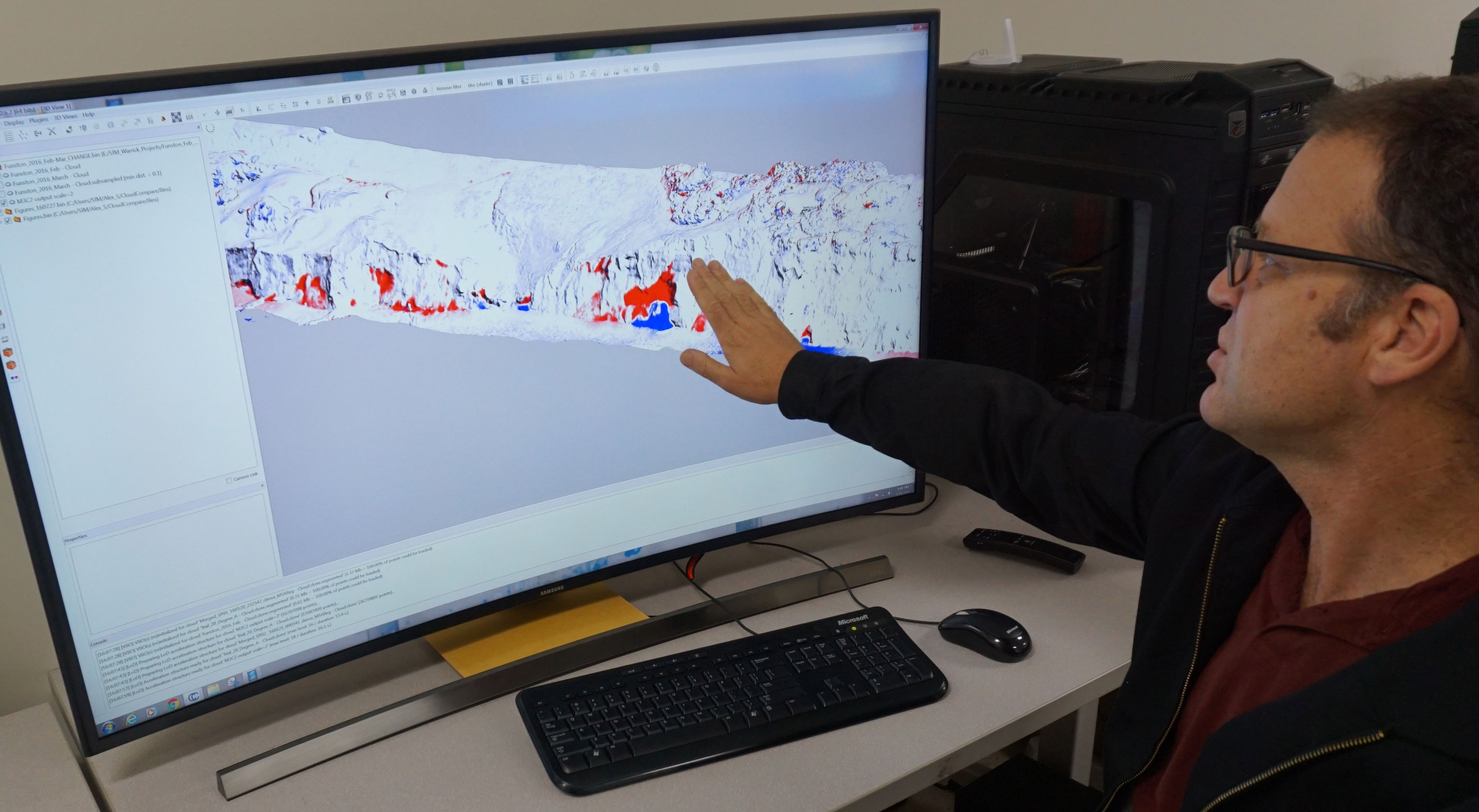
monitoring, compare stable areas as well as the changing surface. The dryland
study assessed repeatability separately from single-date accuracy, illustrating
why an apparent difference needs its own uncertainty assessment. Do not treat a
small elevation difference as detected change merely because it spans several
image pixels.
For a broader distinction between a visible observation and a measured
conclusion, see
what a drone inspection can actually prove.
Specify the deliverable and its checks together
The table below is an editorial commissioning guide based on the USGS
calibration guidance and PIX4D reporting documentation, checked September
7, 2026. It proposes what to request; it does not assign universal tolerances to
these applications.
Scroll horizontally to compare all columns.
Quantity accuracy does not follow directly from point accuracy. For example, an
assumed uniform 3 cm error in average pile height over an assumed 1,000 m²
footprint produces a 30 m³ volume difference: 0.03 m × 1,000 m². This simplified
sensitivity calculation assumes a fixed footprint and a uniform height bias. It
is not a prediction of stockpile error; it shows why the base surface and
systematic offsets deserve attention alongside checkpoint RMSE.
Questions to settle before commissioning a survey
Ask the provider to answer these in the scope of work:
- What horizontal and vertical error will be reported, using which statistic,
units, and testing method?
- Which surface, site boundary, and downstream decision does the promise cover?
- How will control and independent checkpoints be surveyed, separated, and
distributed?
- What coordinate reference systems, elevation reference, and units will the
delivered files use?
- Which surfaces or areas cannot be measured reliably, and how will those gaps
be identified?
- What raw point comparisons, processing details, and corrective work are
included if the deliverable misses the agreed requirement?
Accept a centimeter-level claim only when the delivered evidence supports it for
the required surface and use. A clear scope, suitable ground references, and
independent checks turn drone photogrammetry accuracy into something a buyer can
evaluate before relying on the result.
Source notes
- USGS: Fine-resolution repeat topographic surveying of dryland landscapes.
Record and abstract of a 2017 peer-reviewed study; establishes the stated
field results and their comparison method.
- PIX4D: Ground sampling distance in photogrammetry.
Provider documentation defining image sampling and its dependence on capture
geometry.
- PIX4D: Relative and absolute accuracy of drone mapping.
Provider guidance on conditional error ranges, georeferencing, and local
limitations.
- USGS: Guidelines for calibration of uncrewed aircraft systems imagery.
2023 technical report on acquisition, camera calibration, control
distribution, and data quality; its older standards references are not used as
current compliance requirements here.
- PIX4D: Tie points in photogrammetry projects.
Provider documentation distinguishing ground control, checkpoints, and image
tie points.
- USGS: Adopt updated accuracy standards.
Official explanation of ASPRS Edition 2, Version 2 changes in the context of
the Lidar Base Specification; used for reporting distinctions, not to impose
lidar requirements on drone projects.
- PIX4Dcloud: Quality report help.
Provider documentation explaining coordinate systems, checkpoint errors, and
image-space diagnostics.
Last checked: September 7, 2026.