Latest in Technology

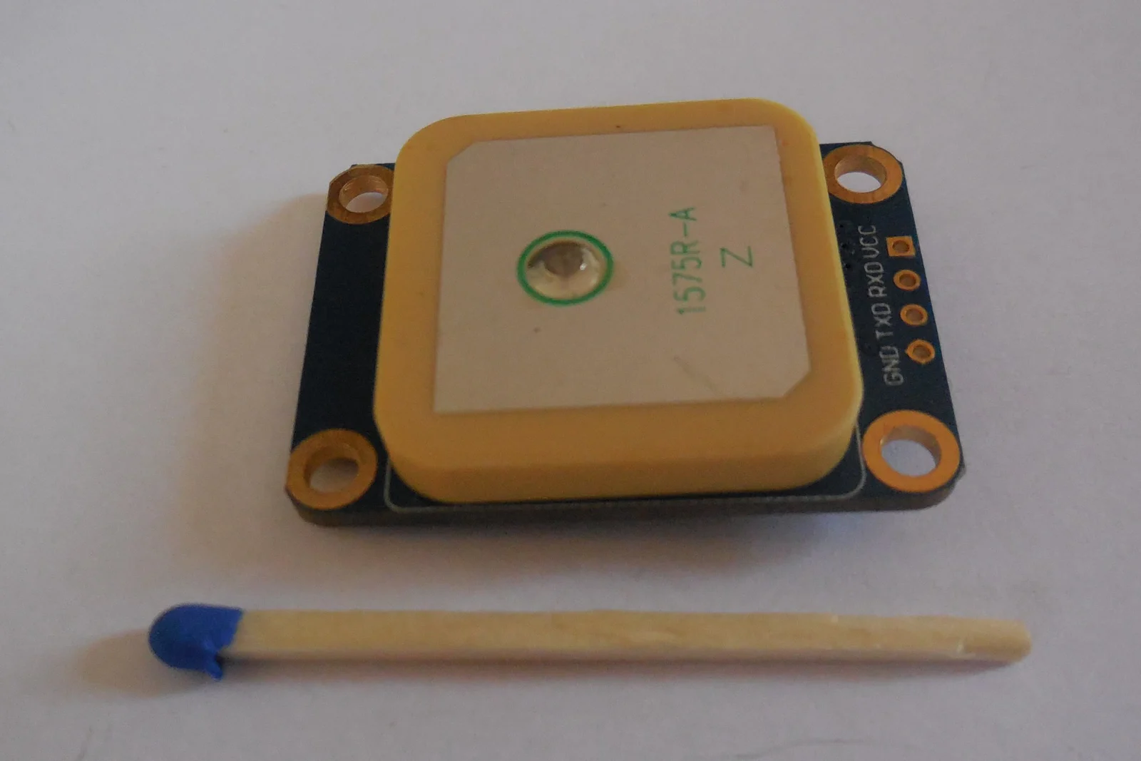
A GNSS receiver module with an integrated patch antenna and exposed power and serial connection pads.
Image credit

A u-blox NEO-M6 GNSS receiver module with its patch antenna and exposed connection pads. This photographed unit was used for a mobile data logger, not a UAS installation.

Photo: Markus Bärlocher.License: CC0 1.0. Changes: Converted to WebP and resized to 1600 pixels wide.

Drone technologytechnical explainer

How GNSS-Aided Inertial Navigation Works in Commercial Drones

Understand how a commercial drone combines GNSS and inertial measurements, including filter updates, timing, lever arms, integrity, and integration tests.
14 min readRead
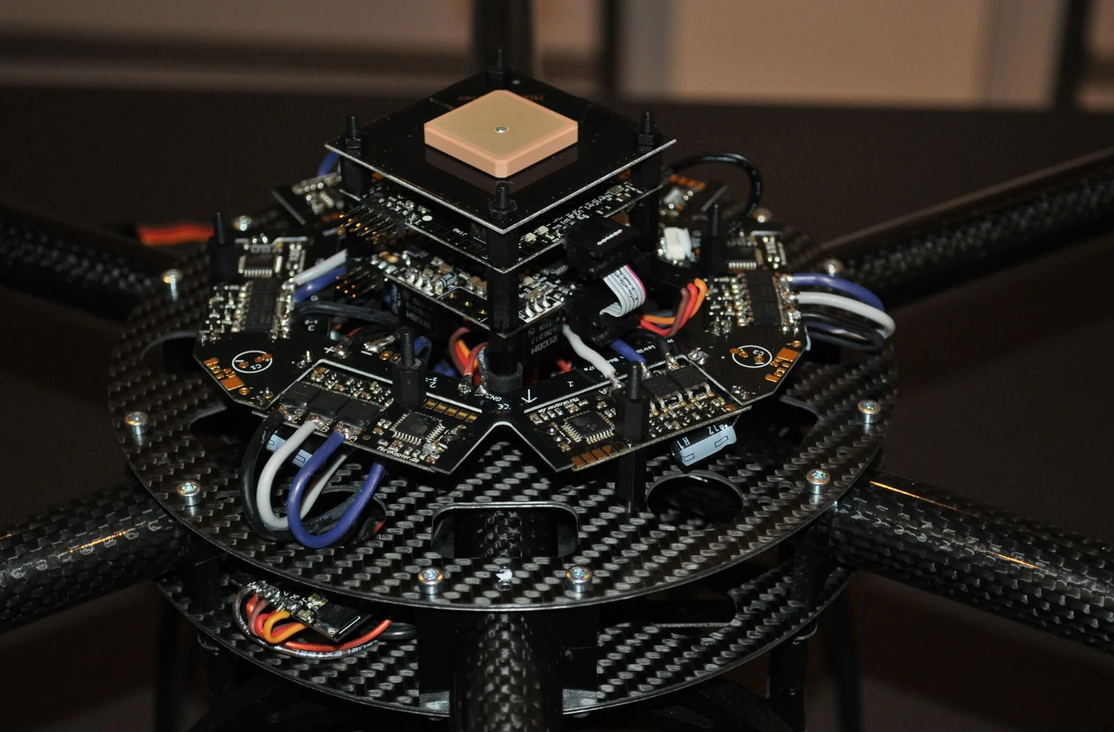
Exposed multicopter electronics showing a GPS antenna above navigation, flight-control, and motor-control boards.
Image credit

An exposed multicopter control stack with a GPS antenna, navigation board, gyro-equipped flight controller, and surrounding motor controllers.

Photo: Clicklabs.License: CC BY-SA 3.0. Changes: Converted to WebP without enlarging the original.

Drone technologytechnical explainer

How IMUs, AHRS, GNSS, and Autopilots Work Together in a Drone

See how drone sensors, state estimation, GNSS positioning, and the autopilot turn measurements into stable flight, navigation, and failure responses.

13 min readRead
A compact physical IMU package containing gyroscope, accelerometer, and magnetometer sensors.
Image credit

A physical IMU package containing a gyroscope, accelerometer, and magnetometer. The photographed unit was made for motion capture; it illustrates the sensor package, not a UAS qualification claim.

Photo: Wikimocap.License: CC BY-SA 4.0. Changes: Converted to WebP and resized to 1600 pixels wide.

Drone technologybuyer guide

How to Select an IMU for a Commercial UAS

Turn commercial UAS dynamics and navigation needs into IMU requirements for range, noise, bias, vibration, temperature, timing, interfaces, and evidence.

18 min readRead
A compact physical IMU package containing gyroscope, accelerometer, and magnetometer sensors.
Image credit

A physical IMU package containing a gyroscope, accelerometer, and magnetometer. The photographed unit was made for motion capture; it illustrates the sensor package, not a UAS qualification claim.

Photo: Wikimocap.License: CC BY-SA 4.0. Changes: Converted to WebP and resized to 1600 pixels wide.

Drone technologytechnical explainer

IMU vs. AHRS vs. INS: What Each System Does in a Drone

Compare IMU, AHRS, and INS inputs and outputs, understand drift and heading, and turn ambiguous drone navigation labels into testable requirements.

11 min readRead
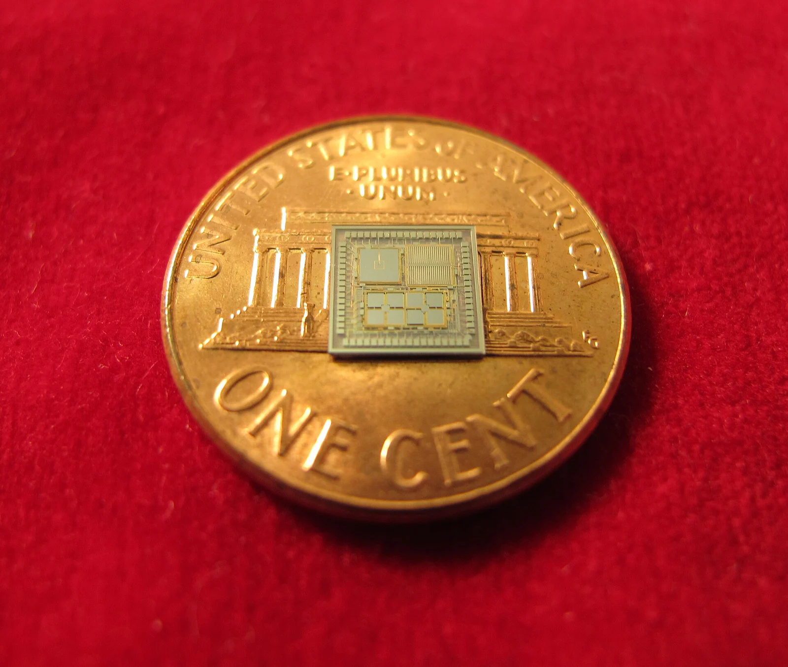
A miniature DARPA timing and inertial measurement prototype resting on a U.S. penny for scale.
Image credit

A DARPA timing and inertial measurement unit research prototype developed to aid navigation during temporary GPS loss. The photograph documents a research device, not a commercial UAS installation.

Photo: DARPA / University of Michigan.License: Public domain, U.S. federal government work. Changes: Converted to WebP and resized to 1600 pixels wide.

Drone technologyoperating guide

What Happens When a Drone Loses GNSS?

See what a commercial drone can still estimate after GNSS loss, why position modes degrade, how failsafes differ, and what operators should verify.

15 min readRead
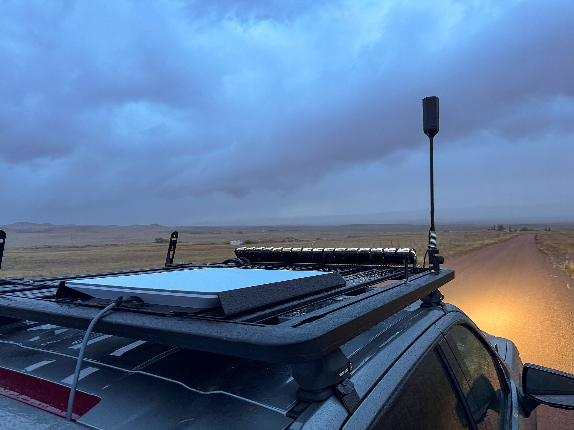
Flat-panel Starlink terminal mounted on a vehicle roof beneath an open sky, illustrating the mounting and sky-view problem for airborne installations.
Image credit

A flat-panel Starlink terminal on a mobile roof mount, a ground-based analogue for aircraft mounting and sky-view constraints.

Photo: Tony Webster, CC BY 2.0, via Wikimedia Commons.License: Creative Commons Attribution 2.0 Generic. Changes: Resized from the original to 1920 x 1440; no other edits.

Drone technologytechnical explainer

Can a Drone Use Starlink? Weight, Power, Coverage, and C2 Limits

A technical guide to carrying Starlink on a drone, including installed mass, aircraft power, antenna placement, networking, data roles, resilience, and alternatives.

12 min readRead
About this coverage

Drone technology, in practice

Aircraft, flight controls, navigation, communications, computing, propulsion, and automation form a connected technical system. Feature labels are useful only when the underlying functions and authority boundaries are clear.

Coverage explains those systems with primary technical sources and traces emerging technology to the integration, reliability, operating, and evidence questions that matter in commercial use.