Latest in Payloads + sensors

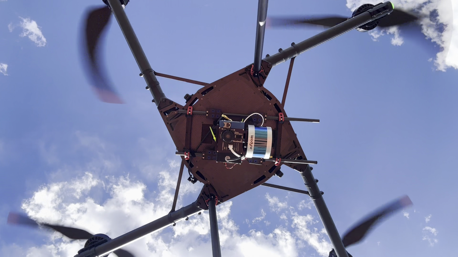
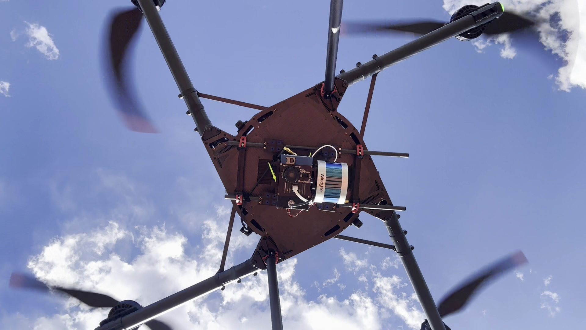
Underside of a flying multirotor showing a mounted hyperspectral camera, lidar sensor, brackets, and connecting cables
Image credit

A sensor installation during USGS National Uncrewed Systems Office test flights. The photograph illustrates installed hardware, not a payload-capacity or endurance measurement.

Photo: U.S. Geological Survey, public domain.License: The USGS source page explicitly identifies this photograph as Public Domain under Sources/Usage.. Changes: Original full-resolution 16:9 photograph retained without cropping or alteration; inspected at original resolution..

Payloads and sensorstechnical explainer

Drone Payload Capacity: Weight, Power, and Flight-Time Tradeoffs

Understand drone payload capacity through installed weight, mount limits, electrical power, and the flight time left for useful work after travel and reserve.
9 min readRead
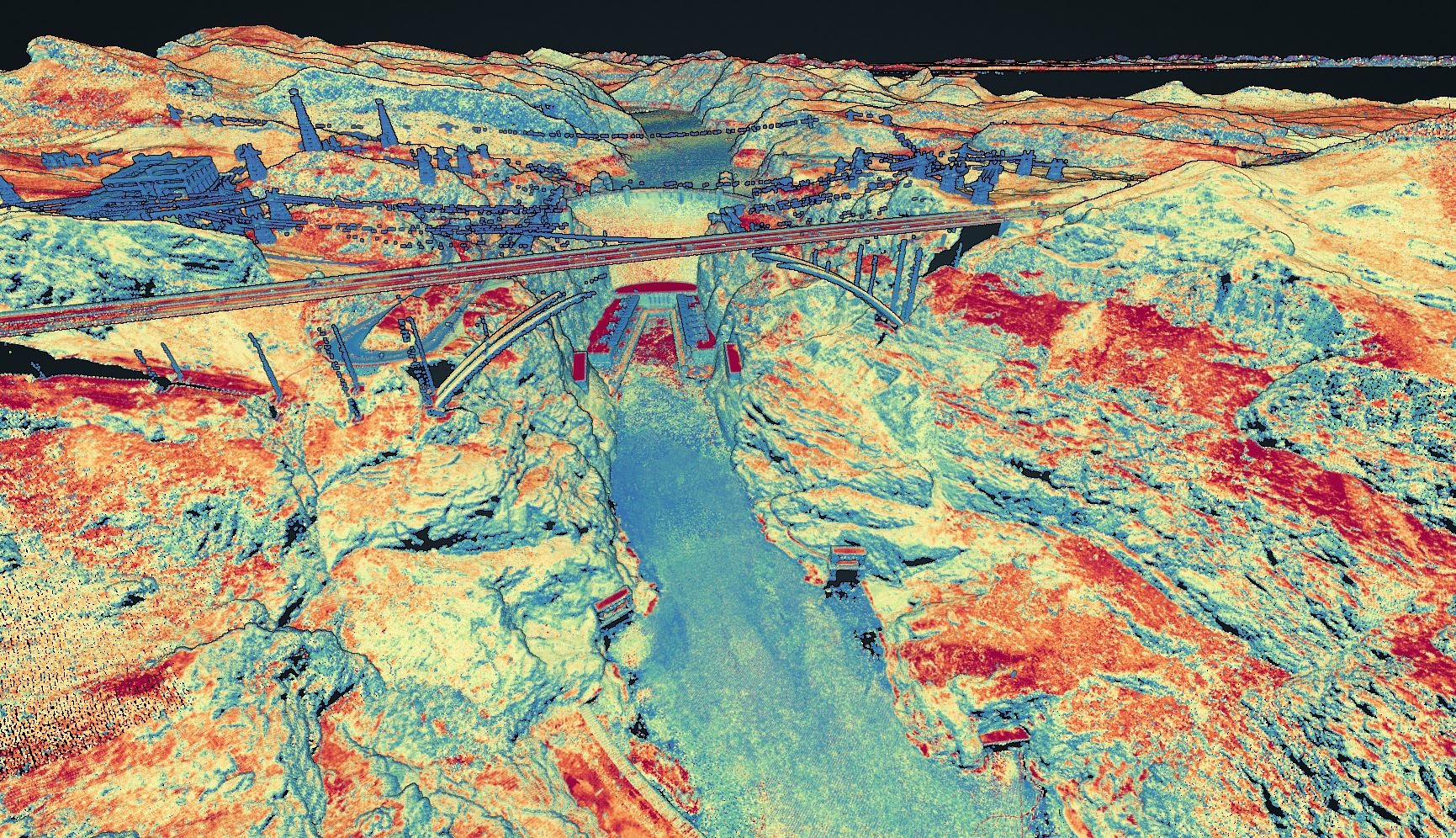
Colored LiDAR point cloud showing Hoover Dam, an arch bridge, and the surrounding canyon terrain.
Image credit

A LiDAR point-cloud visualization of Hoover Dam and surrounding terrain, created by Jason Stoker and published by USGS in 2023. It illustrates a mapped output; the source does not identify this as a drone capture or a test of the payloads discussed.

Photo: Jason Stoker / U.S. Geological Survey. Public domain. https://www.usgs.gov/media/images/lidar-point-cloud-image-hoover-dam-nevada.License: The exact USGS image page explicitly states Public Domain and credits Jason Stoker. Public-domain reuse permits commercial use and modification.. Changes: Original image visually inspected at full resolution and retained unchanged. Dam, bridge, and canyon forms remain legible at smaller display sizes; color is not used to communicate a quantitative accuracy result..

Payloads and sensorstechnical explainer

Drone LiDAR Payload Selection: Range, Returns, and Accuracy

Interpret drone LiDAR range, returns, and accuracy, then check integration, data deliverables, and lifecycle costs before choosing a mapping system.

10 min readRead
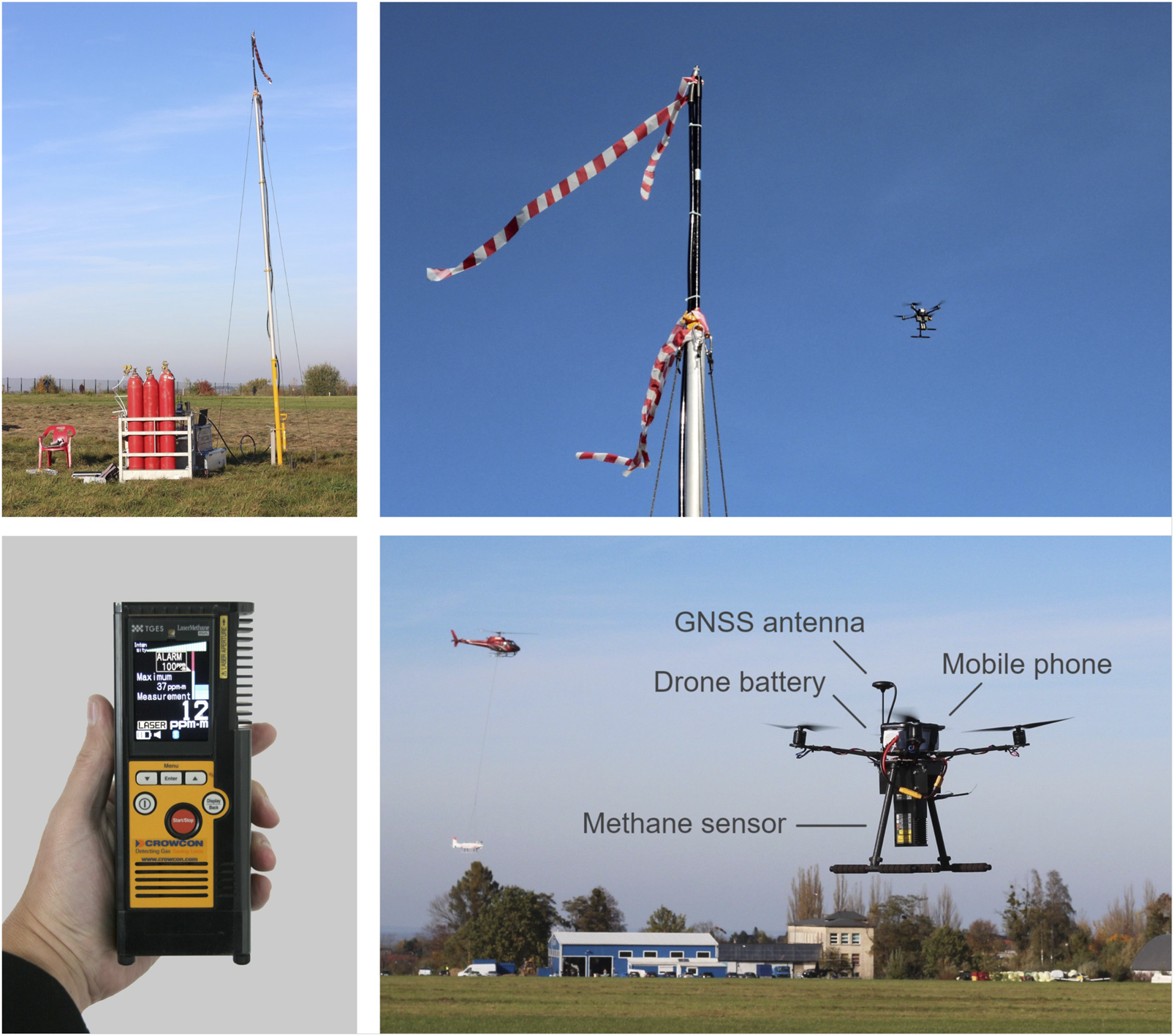
Four photographs show a methane release mast, a drone in flight, a handheld gas detector, and the labeled sensor installation beneath the drone.
Image credit

Controlled-release setup and SToR methane-sensing drone used in the October 2022 experiment in Poland. Figure 5 from Bretschneider et al. (2024), Concepts for drone based pipeline leak detection, Frontiers in Robotics and AI, doi:10.3389/frobt.2024.1426206. Reproduced unchanged under CC BY 4.0.

Photo: Bretschneider et al. (2024), Frontiers in Robotics and AI, Figure 5. CC BY 4.0 (https://creativecommons.org/licenses/by/4.0/)..License: The source article explicitly licenses its content under Creative Commons Attribution 4.0; Figure 5 has no separate restrictive credit. https://creativecommons.org/licenses/by/4.0/. Changes: Complete source figure retained unchanged. Inspected at full resolution; caption and alt text explain the four panels without reliance on small labels..

Payloads and sensorstechnical explainer

Methane Detection Drones: Sensors, Detection Limits, and Validation

Understand methane drone sensors, ppm and ppm·m limits, blind-release validation, emission-rate uncertainty, and the deliverables to request from a provider.

10 min readRead
Underside of a flying multirotor showing a mounted hyperspectral camera, adjacent lidar sensor, and connecting cables.
Image credit

A drone carrying a hyperspectral imaging payload with integrated lidar during USGS National Uncrewed Systems Office test and evaluation flights. USGS published this photograph on May 14, 2026; it illustrates payload integration, not a comparison test of the cameras discussed here.

Photo: U.S. Geological Survey, public domain. https://www.usgs.gov/media/images/drone-hyperspectral-imaging-payload-integrated-lidar-sensor.License: The exact asset page explicitly states Public Domain. USGS Copyrights and Credits confirms USGS-produced information is in the U.S. public domain: https://www.usgs.gov/information-policies-and-instructions/copyrights-and-credits. Changes: Original full-resolution image inspected and retained without cropping or pixel changes. Central payload remains legible as equipment at mobile sizes; no results or product-performance claims are inferred..

Payloads and sensorstechnical explainer

Multispectral vs Hyperspectral Drone Sensors

Compare multispectral and hyperspectral drone sensors by workflow, accuracy, wavelength coverage, cost drivers, and the commercial missions each can support.

11 min readRead
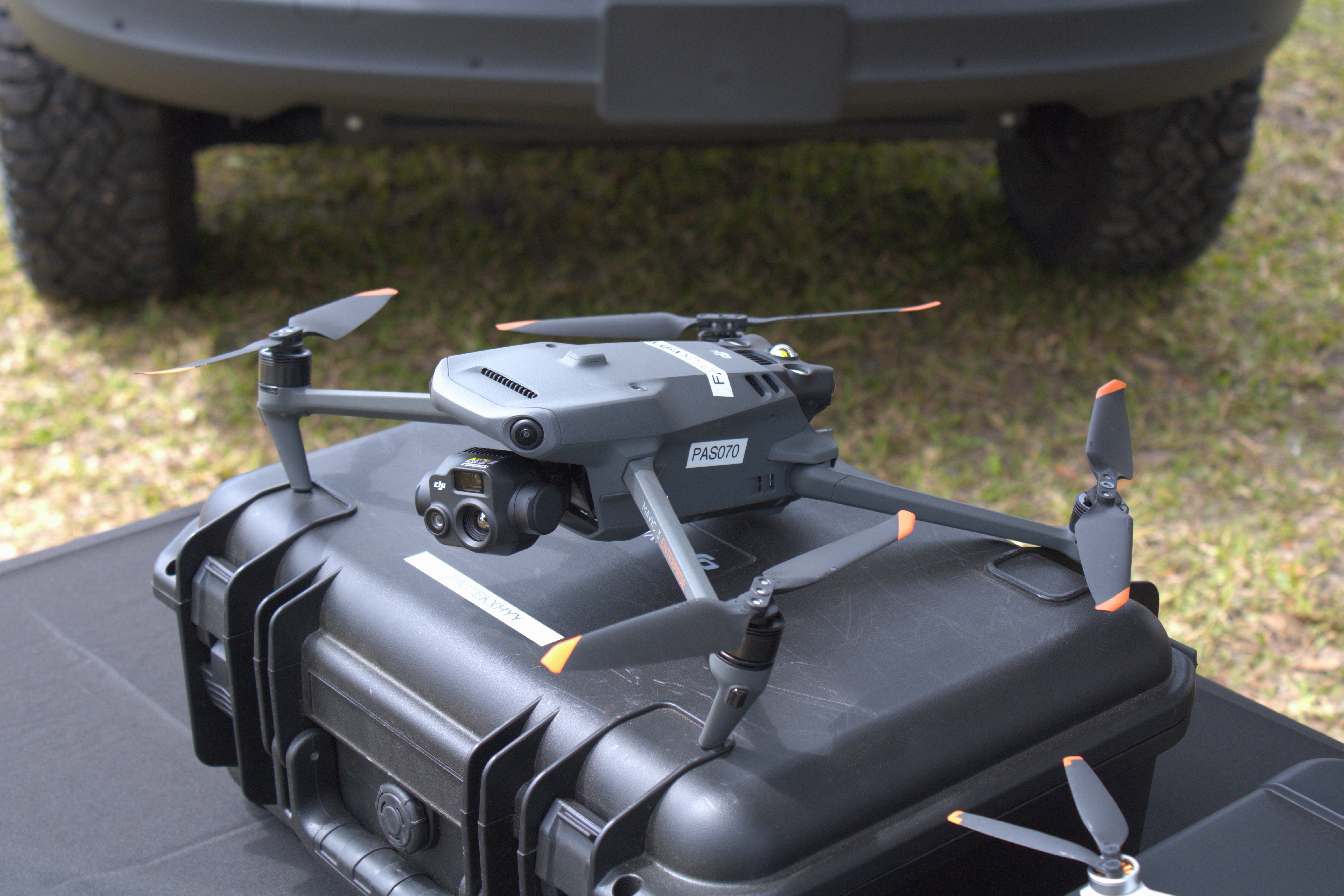
DJI Mavic 3T resting on a black equipment case with its front camera assembly visible
Image credit

A DJI Mavic 3T on display at Sun n Fun 2024. Its camera specifications illustrate the distinctions between resolution, sensitivity, and accuracy discussed here.

Photo: Photo: ZLEA / Wikimedia Commons, CC BY-SA 4.0. Unmodified; source and license linked in Sources..License: CC BY-SA 4.0, explicitly granted on the photographer source page. https://creativecommons.org/licenses/by-sa/4.0/. Changes: Original photograph retained in full without cropping or image editing. Camera assembly remains legible at reduced viewing size..

Payloads and sensorstechnical explainer

Thermal Drone Camera Buying Guide for Inspections

Match thermal optics to the smallest inspection target, then verify temperature accuracy, file compatibility, reporting, and the full ownership cost.

10 min readRead
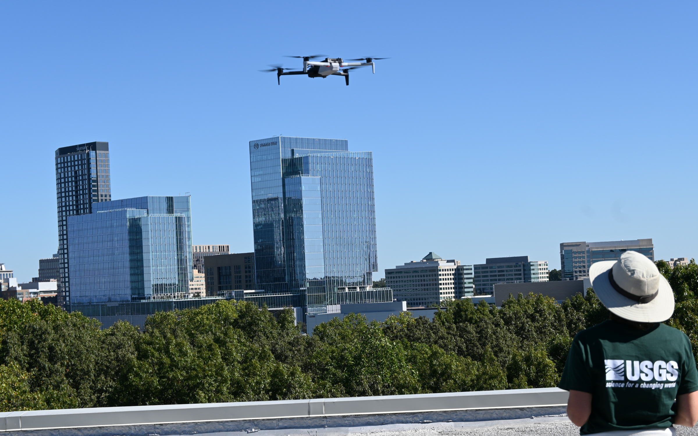
A USGS drone operator watches a black-and-white drone flying several feet above a rooftop
Image credit

A USGS operator watches a drone lift above a rooftop during a flight operation.

Photo: U.S. Geological Survey, public domain.License: USGS media page explicitly marks the asset Public Domain.. Changes: Original USGS image retained without cropping..

Payloads and sensorsbuyer guide

How to Choose a Drone Payload for Inspection Work

Choose among RGB, zoom, thermal, multispectral, hyperspectral, and LiDAR payloads by inspection need, target size, aircraft fit, and workflow.

13 min readRead
About this coverage

Payloads and sensors, in practice

A sensor becomes useful only when the aircraft can carry, power, control, time, locate, and record it under the conditions of the mission. Selection therefore begins with the required observation or measurement.

Coverage connects sensor characteristics with physical and electrical integration, calibration, metadata, environmental limits, processing, and acceptance criteria for the final deliverable.