On This Page
What changes between RTK and PPK?
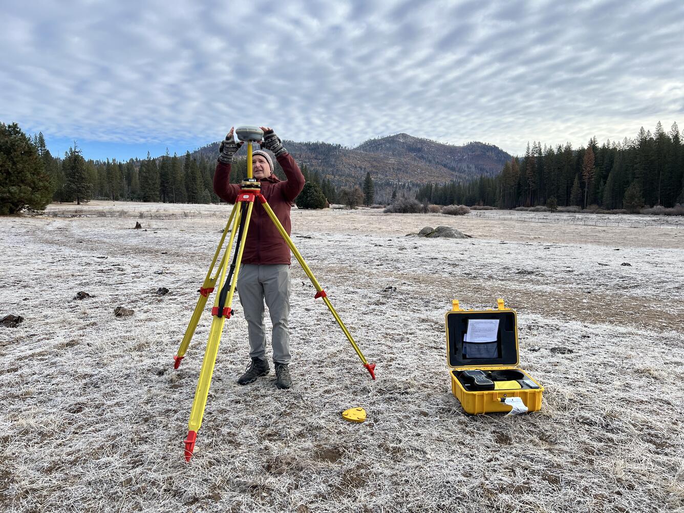
Both methods use a moving GNSS receiver, called the rover, and observations from
a reference station. GNSS means Global Navigation Satellite System. The main
difference is when the positioning solution is calculated and how reference data
reaches the processor.
With real-time kinematic positioning, corrections arrive from a local base
or a network while the drone flies. NTRIP delivers correction data over the
internet; a compatible local-base radio link can work without cellular service.
RTK therefore requires a working correction path, but it does not always require
internet access.
Emlid's RTK explanation
distinguishes these reference-delivery options.
With post-processed kinematic positioning, the reference and rover record
observations for processing later. Camera exposure events connect the resulting
trajectory to individual photographs. A file of ordinary navigation coordinates
is not a substitute for the observations and timing records that a PPK processor
needs.
Emlid's PPK documentation
explains why synchronizing the camera and receiver matters.
RTK and PPK workflow comparison
Scroll horizontally to compare all columns.
Source basis: the Emlid documentation above and
Pix4D's RTK/PPK workflow guide,
checked September 7, 2026. Operational implications are editorial synthesis.
RTK removes a separate GNSS correction step when the recorded positions are
usable. It does not remove photogrammetric processing. Conversely, software that
accepts PPK positions may not calculate them: Pix4D documents that PIX4Dmatic
imports externally processed PPK data.
Is PPK more accurate than RTK?
There is no universal winner. Compare the same aircraft, camera, flight
geometry, reference coordinates, processing settings, and independent
checkpoints. Otherwise, differences attributed to correction timing may actually
come from another part of the mapping system.
The precision comes from measuring the satellite signal's carrier phase. The
processor must resolve the unknown number of whole signal cycles, called integer
ambiguity. A fixed solution has resolved those integer ambiguities; a float
solution has not fixed them to integers. NovAtel explains the
carrier-phase mechanism
and
fixed and float processing solutions.
Satellite geometry, observation quality, and base-to-rover distance still affect
the result.
Pix4D's published field and urban comparison illustrates the distinction. Its
open-field flight recorded 99% RTK-fixed camera positions. In the urban flight,
only 71% were RTK-fixed, and post-processing improved the result. Those are
results from its particular eBee Plus and PIX4Dmapper workflow, not performance
promises for another drone or site. See
the test conditions and results.
Also separate relative accuracy, meaning agreement between features within
the model, from absolute accuracy, meaning agreement with their positions in
a defined reference frame. A model can have useful internal dimensions and still
be displaced on the ground. Pix4D's
accuracy guidance
identifies image quality, overlap, scene content, geolocation, and control as
important variables. Small pixels do not establish equally small position
errors.
Ground control points constrain the model to surveyed coordinates. Checkpoints
provide a comparison against surveyed positions for quality assessment. Preserve
that distinction when assigning point roles in the software; a good fit to
coordinates used as control is not an independent test.
Pix4D's tie-point documentation
explains those roles.
For a commercial deliverable, agree on the required horizontal and vertical
checks before flying. Compare both methods against those same requirements. A
receiver's fixed-status indicator cannot answer whether the delivered
orthomosaic or elevation model passes them.
What can fail, and what can you recover?
Correction-link loss and satellite-observation loss are different problems.
PPK avoids dependence on the live correction connection. It still needs usable
GNSS observations. It cannot reconstruct a missing base recording or a camera
event that was never captured. If the problem concerns aircraft navigation, see
what happens when a drone loses GNSS.
Before relying on PPK as an RTK fallback, perform a complete sample-file handoff
with the actual aircraft and processor. Emlid Studio's
RTK-drone post-processing guide,
for example, requires base and drone RINEX observations, a drone MRK event file,
images, and navigation data. It also requires matching photo and timestamp
counts. These requirements describe that supported workflow, not every RTK
aircraft.
Use this field-exit checklist:
- Confirm the base and rover recordings overlap the flight period.
- Retain the original photographs, observation files, exposure events, and
positioning-status records.
- Record the reference coordinates and antenna height used for processing.
- Verify the processor's camera-to-antenna offset treatment and the
image-to-event association.
- Preserve the corrected position export and identify which image set received
it.
These checks follow the Emlid workflow above and its
kinematic-processing checklist.
Demonstrating the complete handoff before a remote assignment is an editorial
recommendation: finding an unsupported file format after demobilization leaves
fewer recovery options.
Reference coordinates deserve particular attention. NOAA advises using published
CORS coordinates and velocities rather than treating approximate RINEX header
coordinates as authoritative. Its
CORS FAQ also distinguishes the
data archive from real-time services. A reference station appearing in an
archive does not establish that it supplies the live stream or flight-period
files your workflow needs. Confirm the coordinate frame, relevant epoch, units,
and height reference across the project.
What drives the cost difference?
Compare the cost of a completed, checked job. RTK can involve correction-service
access, communications, or owning and operating a local base. PPK adds file
handling and GNSS processing, with costs depending on software, automation, and
staff time. Both retain imagery processing and quality-control work.
DroneDeploy's
workflow guide
identifies the different field-equipment and connectivity requirements.
Use this estimating formula with your own quotes and labor records:
Cost per accepted mapping job = allocated equipment and software cost +
reference-data and communications cost + field labor + processing and checking
labor + rework cost.
This is a budgeting structure, not a market-price estimate. Keep the
deliverable, project area, control plan, and checking requirements identical
when comparing options. Include base setup and retrieval time even if the
receiver is already owned. For PPK, include file review and correction
processing even if the software has no separate charge.
The largest uncertainty may be rework. On a nearby recurring site, an extra
processing step may outweigh little travel risk. On a remote assignment,
avoiding another mobilization may justify maintaining both correction workflows.
Estimate those scenarios from your own operations instead of assuming PPK always
saves money or RTK is always faster.
Which commercial missions fit each approach?
The following recommendations apply the documented dependencies to common
assignments. They are workflow choices, not measured productivity rankings.
Scroll horizontally to compare all columns.
Source basis: Emlid's RTK and PPK documentation, Pix4D's comparison, and
DroneDeploy's workflow guide. Mission fit and budgeting implications are
editorial interpretation.
Choose RTK when live corrected positions make the operation easier and the
correction path is dependable. Choose PPK when collecting complete observations
is more reliable than delivering corrections in real time. Where a return trip
would be expensive, verify the PPK fallback before departure. Whichever method
you choose, judge success by the checked map delivered to the client.
Source notes
Last checked: September 7, 2026.