On This Page
What each deliverable contains
An orthomosaic combines overlapping photographs into a geometrically corrected
image map. A conventional RGB orthomosaic stores image color at mapped
positions; it does not supply the elevation measurements needed for a volume
calculation. A DSM or DTM stores elevations, even when software displays those
values as a colorful hillshade.
The following comparison uses
USGS's UAS product definitions
and
PIX4D's output definitions.
Selection implications are editorial interpretation.
Scroll horizontally to compare all columns.
Raster elevation models are commonly called 2.5D: they hold one elevation
for each horizontal location. A raster DSM cannot represent a bridge deck and
the ground beneath it at the same location. Request an appropriate point cloud
or three-dimensional model when that distinction matters.
“Digital elevation model,” or DEM, is not a sufficiently specific purchase
description. USGS's UAS archive uses it as a category containing DSMs and DTMs.
Ask the supplier which surface its DEM represents, which features were removed,
and whether delivery is a raster or another terrain representation.
How the processing workflow changes
For image-based mapping, overlapping photographs are matched to reconstruct
camera positions and scene geometry. The workflow then branches: generate a
surface model, use reconstructed geometry to correct and mosaic imagery, or
classify and process points to represent terrain. Deliverables from one capture
share underlying limitations; requesting three exports does not create three
independent surveys.
An orthomosaic needs review for image seams, doubled edges, missing coverage,
and displaced features. DSM review concentrates on the reconstructed surface:
holes, spikes, noisy roofs, vegetation, and transitions around sharp edges.
PIX4D's accuracy guidance
identifies trees, reflective surfaces, and some roads and rooftops as potential
local accuracy problems.
DTM production adds a consequential interpretation step. Someone or an algorithm
must decide which points describe ground.
PIX4Dmapper's DTM instructions
explain that classification improves the result; without it, the software
produces a smoothed DSM. Smoothing can make a surface look cleaner without
establishing that it follows the terrain.
Ask to inspect ground-classified points and profiles through difficult areas. A
ditch bank or retaining edge that disappears during filtering can matter more
than an attractive overall rendering. Where the ground is hidden, require the
supplier to distinguish measured terrain from interpolated terrain, meaning
elevations estimated between observations.
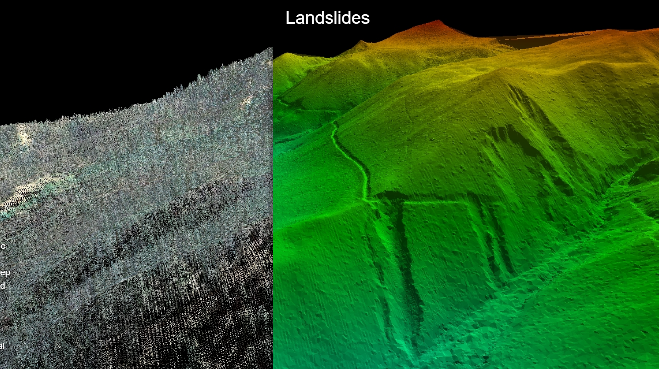
Dense vegetation should change the capture discussion. A
2017 study documented by USGS
found that filtering leaf-on stereo imagery improved terrain estimates but
retained canopy artifacts; leaf-off results performed differently. That study
used satellite imagery in a Virginia forest, so its results are not a drone
accuracy guarantee. Its relevant lesson is that cover and acquisition conditions
affect what filtering can recover.
If ground visibility is poor, ask whether a different season, lidar capture,
supplementary ground measurements, or a narrower usable area is needed. Do not
accept a promise that selecting “DTM” at export will resolve missing ground
observations.
Choose the package for the commercial mission
The mission choices below follow the surface definitions above and
PIX4D's documented output uses.
They are commissioning recommendations, not claims that any particular flight
will meet a project's accuracy requirement.
Scroll horizontally to compare all columns.
For stockpiles, the base deserves its own line in the scope.
PIX4Dsurvey's volume documentation
calculates volume between a selected base and the measured surface. The visible
pile does not reveal the buried base. A pre-pile survey, an agreed plane, and a
surface interpolated from the perimeter are different assumptions.
For a simplified hypothetical case, a uniform 0.10 m base-height error over
1,000 square meters changes the calculated volume by 100 cubic meters:
Volume difference = footprint area × uniform height difference = 1,000 m² × 0.10
m = 100 m³.
This is arithmetic illustrating sensitivity to the base, not a measured survey
error or an accuracy prediction. Better image resolution alone cannot resolve
the wrong base assumption.
Likewise, canopy height is a difference between surface and terrain elevations,
rather than the DSM elevation alone. Check that the models use compatible dates,
references, and grids before subtracting them.
A drainage model needs more than a bare-earth label.
USGS explains hydrologic enforcement
as modifying elevations to represent flow through structures such as culverts.
Agree with the downstream analyst which channel connections and flow controls
need separate information or model treatment. Preserve the original terrain
model alongside any modified version.
Accuracy depends on what was actually observed
No deliverable wins a universal accuracy ranking. An orthomosaic, DSM, and DTM
can share the same positional bias, while terrain filtering creates additional
local uncertainty in the DTM.
Separate resolution, the image or grid sampling interval, from accuracy,
agreement with independent reference measurements. A file with 2 cm pixels does
not establish 2 cm horizontal or vertical accuracy. PIX4D distinguishes relative
accuracy within a reconstruction from absolute accuracy in a reference frame; a
model can preserve local dimensions while sitting in the wrong position.
Ground control points help constrain the model. Checkpoints assess its
performance against known positions.
PIX4D's tie-point documentation
distinguishes their roles. For independent verification, reserve surveyed check
coordinates from model adjustment and request separate horizontal and vertical
error results, the statistic used, and reference-measurement quality.
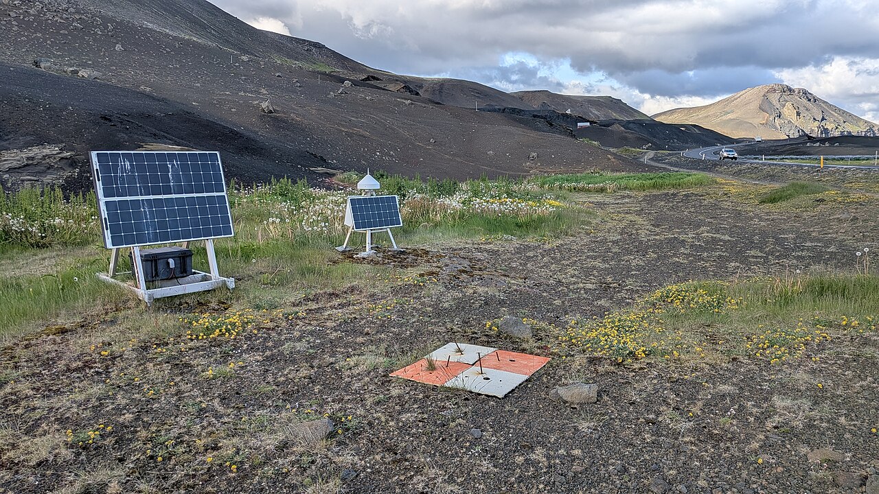
Make the checks relevant to the product. Clearly visible targets can assess map
positioning, but they do not establish the quality of a DTM beneath an
unobserved thicket. Request ground checks or other documented support in the
terrain conditions that control the decision. Record areas that could not be
checked.
For repeated surveys, agree on the horizontal coordinate system, vertical
reference, units, and comparison footprint. Specify how data gaps and changed
site conditions will be handled before calculating differences. A shift between
models can otherwise be confused with a change in the site.
A visual progress map also has limits as inspection evidence. Our explanation of
what a drone inspection can actually prove
helps distinguish visible indications from supported measurements and diagnoses.
What drives the cost
Compare quotes for the same usable outputs and checks. The extra work is easier
to understand when it is separated into capture, processing, and delivery:
- Capture and reference work: area, access, terrain, required detail,
control and checkpoint measurements, and any supplementary observations.
- Reconstruction and review: processing the imagery or lidar, investigating
gaps, correcting local failures, and reviewing the outputs.
- Terrain interpretation: classifying ground, checking difficult profiles,
preserving required terrain edges, and documenting interpolated areas.
- Handover and analysis: preparing the agreed files, making them usable in
the recipient's software, calculating volumes or changes, and supplying the
quality report.
This is an editorial breakdown of the documented processing and measurement
steps, not a market price schedule. A reviewed DTM of a vegetated site can
involve substantial additional work beyond exporting a DSM. On exposed,
uncomplicated ground, the difference may be much smaller. An orthomosaic-only
commission can still require extensive reference work when accurate positioning
is essential.
Ask for separately priced additions when comparing proposals: terrain editing,
additional field measurements, volume analysis, and downstream format
preparation. That makes it easier to remove an unnecessary service without
accidentally removing a measurement the project depends on.
Existing terrain data may be sufficient when its date, coverage, detail, and
checked accuracy fit the task. Conversely, a cheaper new flight is poor value if
hidden terrain means the intended analysis remains impossible.
Specify the handover before the flight
Write the order in terms the recipient can verify:
- Purpose and surface: the decision being supported, the required
orthomosaic, DSM, or DTM, and the features to retain or remove.
- Coverage and date: the boundary, required margins, acquisition timing,
and how obscured areas will be identified.
- Reference and detail: horizontal coordinate system, vertical datum or
height reference, units, capture resolution, and exported grid size.
- Files and interpretation: the raster, point-cloud, or terrain format
required by the recipient, plus classification information, exclusions, and
interpolation notes where relevant.
- Measured quality: horizontal and vertical requirements appropriate to the
task, independent checks, reference quality, and treatment of local failures.
- Derived results: volume bases and boundaries, contour source surface, or
alignment and comparison rules for repeat surveys.
PIX4D documents GeoTIFF exports for orthomosaics and raster elevation models,
LAS/LAZ point-cloud options, and LandXML terrain workflows. Confirm the exact
export and import combination with the recipient using a representative sample;
the file extension alone does not establish that the data is suitable.
Choose the smallest package that answers the project question and survives those
checks. Use imagery to interpret the site, a DSM to measure its exposed surface,
and a DTM when the analysis requires credible ground elevations. Order
complementary outputs where the work requires both appearance and geometry.
Source notes
Last checked: September 7, 2026.