On This Page
Match the aircraft to the shape of the job
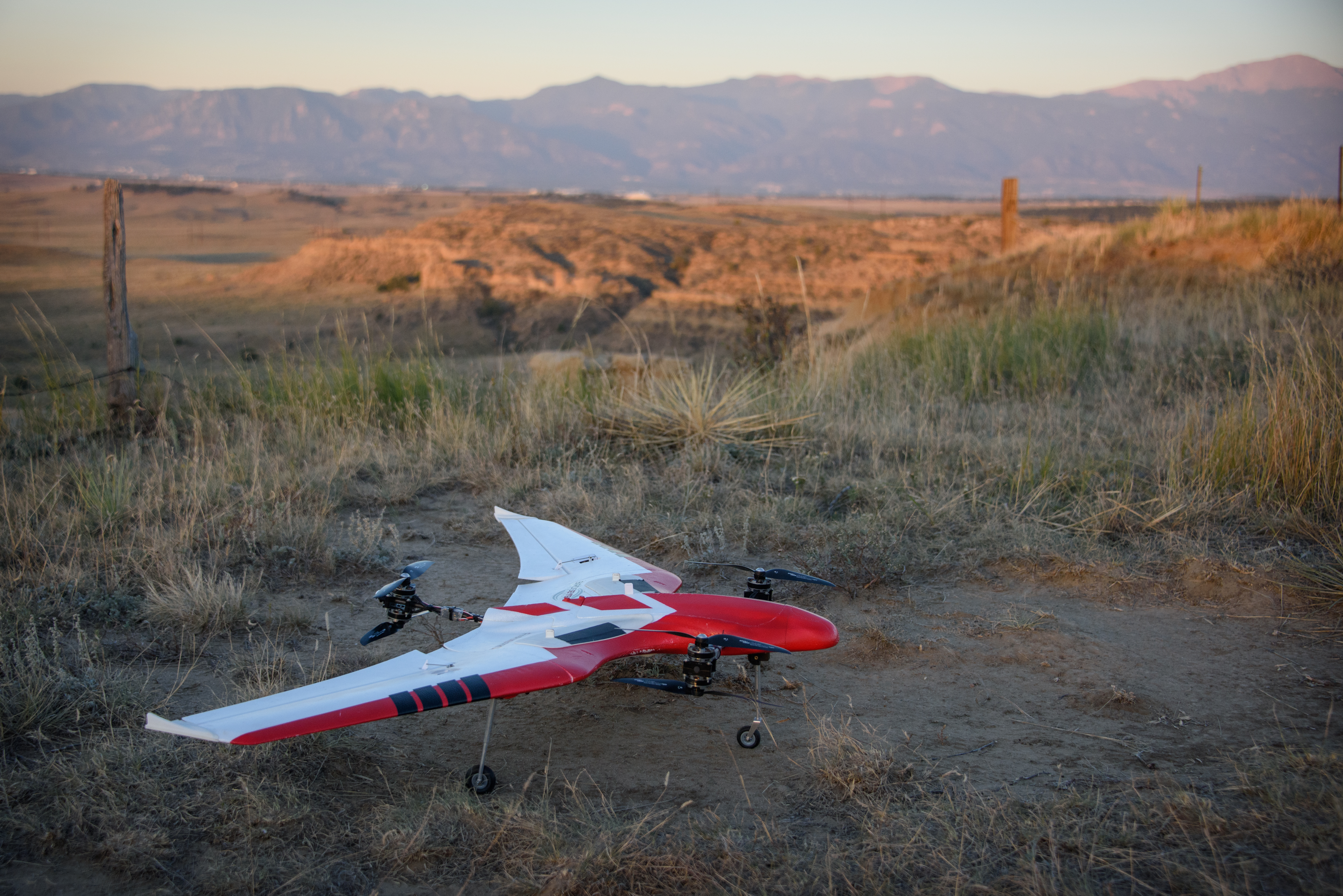
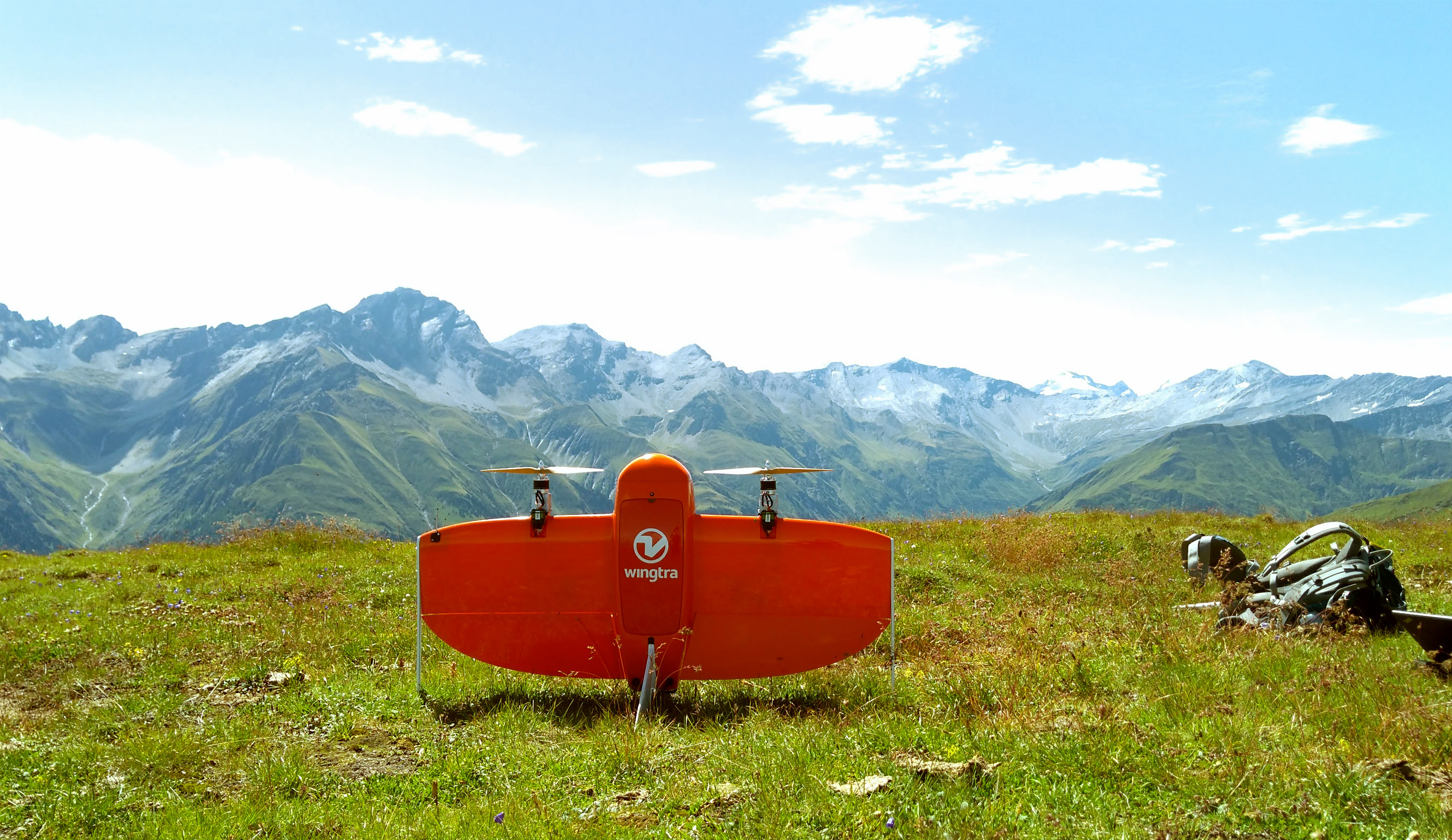
A wing produces lift during forward flight, allowing a mapping aircraft to cover
long survey lines without relying entirely on rotor thrust for lift. A VTOL
fixed-wing uses powered vertical flight for departure and arrival, then
transitions to wing-supported cruise. That is the mechanism behind its appeal
for area coverage. Wingtra's VTOL explanation
describes this sequence; its product-specific coverage figures should not be
generalized to all winged aircraft.
Here, “VTOL” means a winged aircraft with vertical takeoff and landing
capability. Multirotors also take off vertically, but they form a separate
comparison group because they do not transition to wing-supported cruise.
Aircraft shortlist by mapping situation
Scroll horizontally to compare all columns.
These are editorial starting choices based on the flight mechanism and
acquisition dependencies in the cited Wingtra, Pix4D, and USGS documentation,
not measured rankings. There is no universal hectare threshold at which a
fixed-wing becomes better.
Draw the complete flight footprint before comparing aircraft. Include transit,
line-end turns, launch or transition, recovery, and contingency space. A large
property boundary does not necessarily provide one uninterrupted mapping block.
Check whether the aircraft can keep collecting acceptable data through the route
you can actually operate.
Turn coverage claims into a comparable mission
Start with the required ground sampling distance (GSD), the ground spacing
represented by adjacent image pixels. It depends on height above the surface,
camera geometry, and image dimensions.
Pix4D's GSD equations
explain why two cameras flown at the same height need not produce the same image
scale.
Then specify overlap. Pix4D recommends at least 75% forward and 60% side overlap
for its general acquisition case, with higher overlap for difficult subjects
such as dense vegetation. These are software-provider guidelines, not universal
project specifications. Its
image acquisition guidance
also recommends keeping height over the subject as constant as possible to
preserve the desired GSD.
Why overlap changes the apparent advantage
Consider an illustrative camera footprint 150 metres wide across the flight
line. At 60% side overlap, line spacing is 150 × (1 − 0.60) = 60 metres. At 80%
side overlap, it is 150 × (1 − 0.80) = 30 metres. The higher-overlap plan
requires roughly twice as much straight-line travel across the same broad
rectangular block, ignoring boundaries and turns.
At an assumed mapping groundspeed of 15 metres per second, those spacings imply
ideal strip-coverage rates of 54,000 and 27,000 square metres per minute: 5.4
and 2.7 hectares per minute. Calculate each rate as speed × line spacing × 60
seconds, then divide by 10,000 to convert square metres to hectares. These are
geometric calculations using hypothetical inputs, not aircraft capabilities or
daily production forecasts. They omit transit, turns, reserves, rejected
imagery, and all ground work.
That is why a supplier's hectares-per-flight claim is incomplete without the
camera, GSD, overlap, groundspeed, usable capture time, and terrain. Do not
compare an easy, low-overlap mission with a denser acquisition plan and
attribute the whole difference to the airframe.
Ask for a mission export showing height above terrain, image spacing, expected
capture count, and the complete route. Require the supplier to explain how the
camera's trigger interval and exposure support the proposed speed. Evaluate the
resulting images for blur and missing coverage before treating the flight plan
as achievable production.
Specify the data before choosing the payload
Make the requested output concrete. For an orthomosaic, state the area, pixel
size, coordinate reference, allowable gaps, and delivery format. For a surface
model or point cloud, add the vertical reference, units, required features, and
how quality will be checked. Request a sample delivery that opens correctly in
the recipient's actual GIS or design software.
GSD describes image sampling, not a guarantee of positional accuracy. USGS
explains that control quality and the image features used to connect photographs
affect geometric accuracy independently of pixel size. Require independent
checkpoints and an accuracy report appropriate to the project, rather than
accepting “RTK-equipped” or “centimetre-level” as a complete specification. See
the
USGS calibration guidelines
and our guide to drone survey accuracy standards for the acceptance questions.
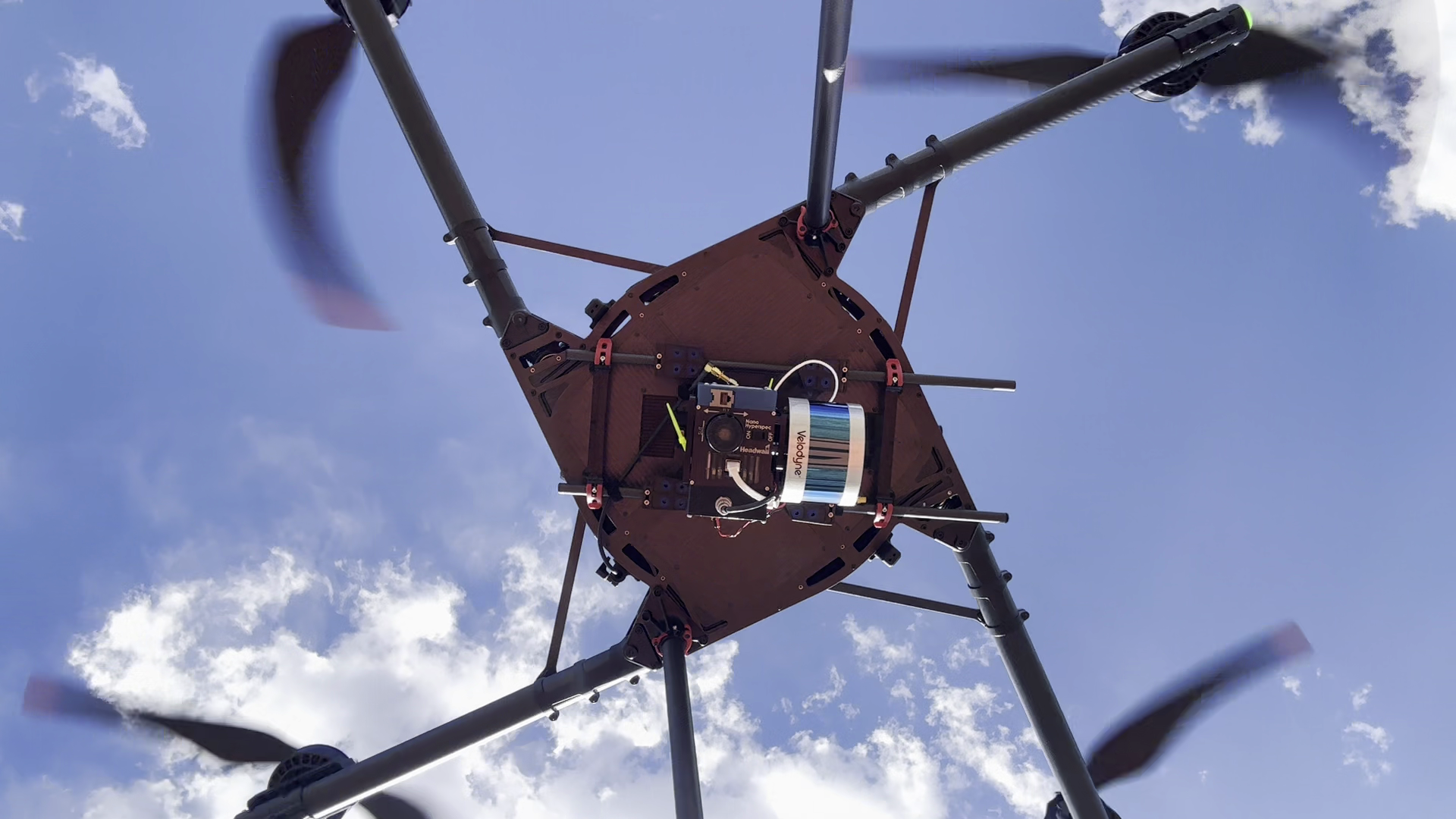
For vegetated terrain, distinguish the surface you can see from the ground you
need to model. USGS describes how
LiDAR point clouds separate ground and above-ground features.
If the assignment requires terrain beneath vegetation, request a representative
classified dataset and inspect its ground coverage. Do not accept total point
density as proof of sufficient ground observations.
Choose the aircraft only after establishing that the sensor and processing
method can produce that dataset. Our LiDAR payload selection guide covers the
next questions about range, returns, and accuracy. A large-area aircraft that
cannot carry the required measurement package has no useful coverage advantage
for that job.
Test the handoff from aircraft to usable files
Treat integration as a purchasing demonstration. Ask the proposed supplier to
take one representative capture through your intended workflow, including the
following handoffs:
- Mission to sensor: identify the exact camera or LiDAR configuration,
supported firmware, triggering, timestamps, and calibration records.
- Positioning to processing: show the correction files, image-event
records, reference coordinates, and recovery procedure when the intended
correction service is unavailable.
- Processing to recipient: deliver the required raster, point-cloud, or
model files with their coordinate and vertical references, units, and quality
report.
- Delivery to archive: preserve original observations, settings, processing
versions, and sufficient metadata to reproduce or investigate the result.
This is a proposed acceptance exercise, not a claim that every commercial
package supports those exports. USGS's calibration report supports retaining
calibration and processing information with the data. Test the exact software
combination you expect to use, including any offline requirement, before
committing to a fleet.
For repeated large-area work, also test aircraft and battery records across
crews. The fleet management software buying guide helps assess that operational
handoff separately from map processing.
In the United States, check whether the intended route fits the operator's
authority under Part 107. The FAA lists visual-line-of-sight operation under §
107.31 among the provisions for which a waiver may be needed when the operation
cannot comply. A long-range aircraft or radio does not itself supply that
authorization. Use the current
FAA waiver guidance
to identify whether the proposed operating concept needs a different permission
path. Include any resulting site relocations and staffing in the productivity
comparison.
Compare cost per accepted hectare
Build an ownership worksheet for the same service period and delivery
specification. Include aircraft and payload allocation, training, batteries,
maintenance, insurance, software, corrections, field labour, travel, processing,
quality review, storage, and expected rework. Obtain actual quotes for the
configuration under consideration; a bare-aircraft price leaves much of the
delivery system unpriced.
Cost per accepted hectare = total attributable cost for the period ÷ hectares
delivered and accepted during that period.
Use accepted area once, even when it takes several flights to complete. Apply a
consistent allocation method to shared equipment and annual subscriptions, and
avoid counting the purchase price again after allocating it across jobs. If no
deliverable is accepted, there is no valid cost-per-accepted-hectare result.
For a deliberately hypothetical comparison, a system costing
$12,000 over a work period and delivering 1,200 accepted hectares costs $10 per
hectare. A second system costing
$9,000 and delivering 600 accepted hectares costs $15 per hectare. Those figures
illustrate the arithmetic only; they are neither market prices nor predicted
results for any drone type.
The aircraft that costs more can be economical when its additional usable output
is real. Conversely, endurance has little economic value if processing, access,
or customer demand limits the area you can finish. Compare purchasing with
hiring a specialist for occasional large projects, using the same deliverables
and quality checks in both estimates.
Choose through a representative acceptance flight
Shortlist winged aircraft first for continuous large-area coverage. Prefer VTOL
when its recovery method resolves a demonstrated site constraint; retain a
multirotor candidate when fragmented work, close views, or payload requirements
favour it.
Give each supplier the same boundary, deliverables, GSD or point requirements,
quality criteria, and working window. Require a complete route and a sample
processed delivery. Record setup, relocations, battery handling, capture,
processing, review, and any reflights. Inspect seams, gaps, positioning checks,
and the recipient's ability to use the files.
Select the system that completes that whole job reliably within your operating
and cost limits. If the demonstration produces only an endurance figure or an
attractive preview image, the central mapping question remains unanswered.
Source notes
Last checked: September 8, 2026.