On This Page
How the three aircraft types do the work
This comparison concerns uncrewed aircraft used for commercial mapping and
inspection. It does not rank passenger eVTOLs, cargo aircraft, or specialist
application systems such as agricultural sprayers.
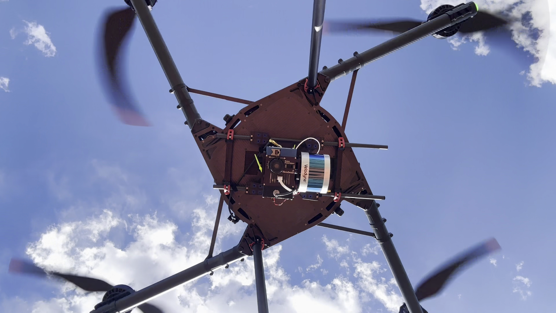
A multirotor uses its powered rotors to support the aircraft and control its
movement. Being able to stop over a location or reposition around an object
makes it a useful starting point for detailed visual inspection. That advantage
matters only if the installed camera can see the required face at the necessary
distance and angle.
A conventional fixed-wing relies on airflow over its wings during flight. It
collects data along moving flight lines rather than stopping at each observation
point. Wing-supported cruise makes sustained coverage attractive, but the
aircraft also needs room to turn and a workable launch and recovery method.
“Fixed-wing” does not necessarily mean a runway: AgEagle documents hand launch
and belly landing for the eBee X.
That is a specific equipment example, not a description of every fixed-wing
aircraft.
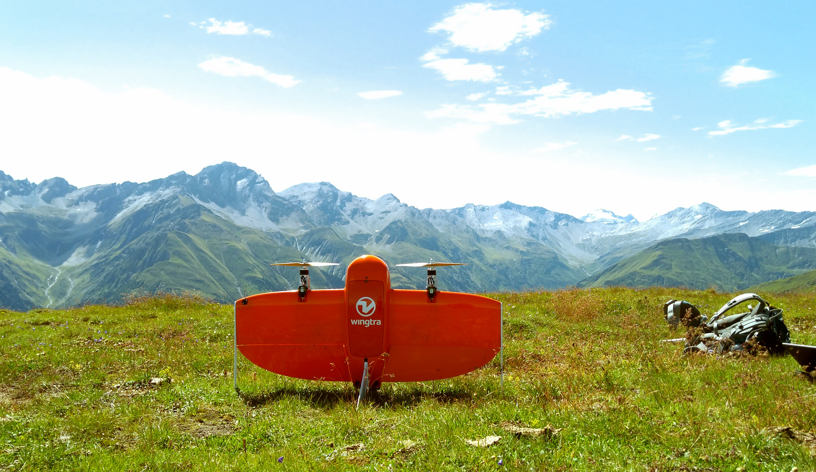
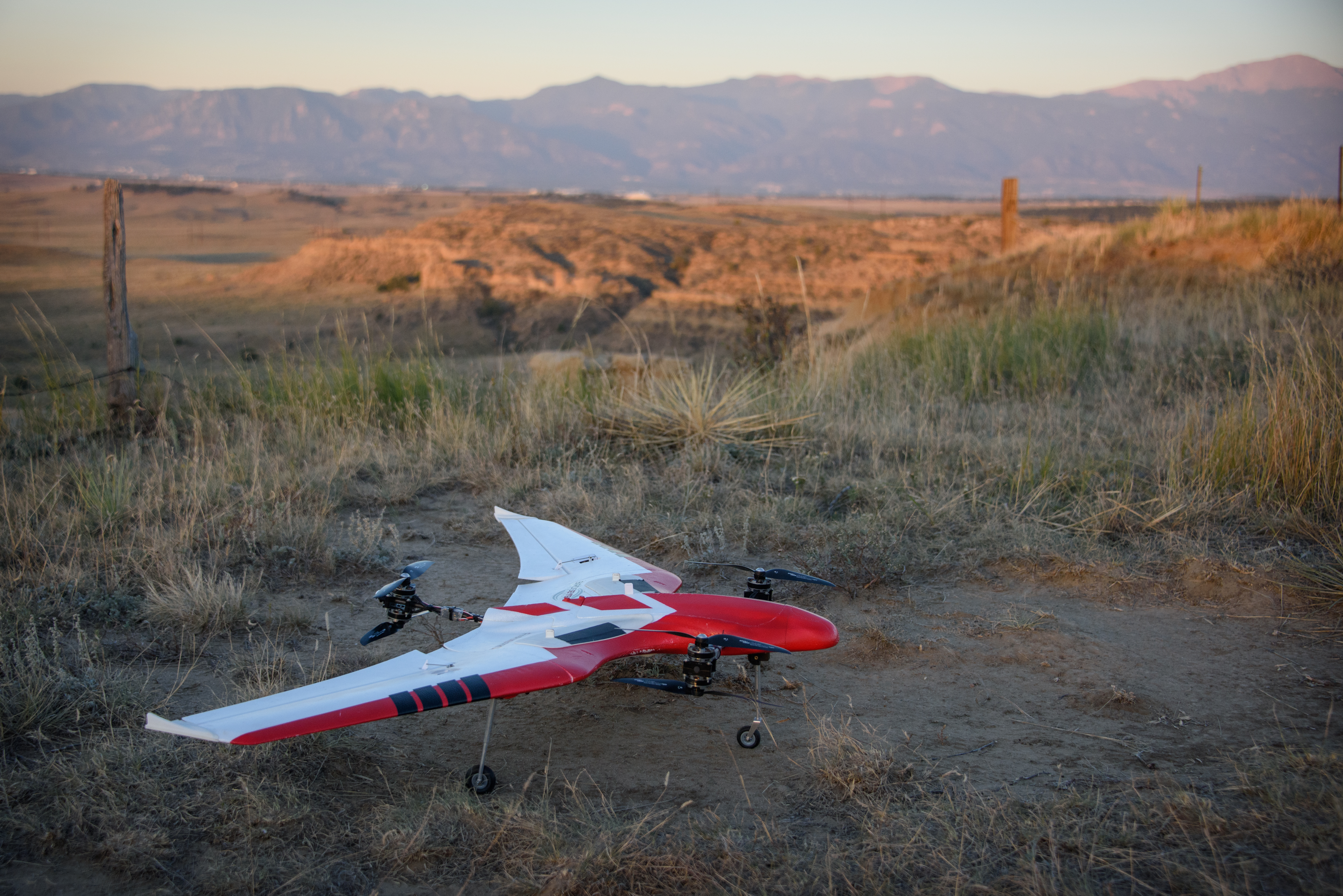
A winged VTOL changes how it generates and controls lift between mission phases.
PX4's airframe documentation
distinguishes three common arrangements:
- Lift plus cruise: separate propulsion for vertical flight and forward
flight, adding hardware that is not all doing the same job in cruise.
- Tiltrotor: motors change orientation, requiring tilt mechanisms and their
controls.
- Tailsitter: the whole aircraft rotates between an upright launch attitude
and forward flight, sharing propulsion across both phases.
These differences affect payload orientation, maintenance items, and flight
planning. Ask which arrangement the offered aircraft uses rather than treating
all VTOL platforms as interchangeable.
Nor does vertical landing establish inspection capability.
ArduPilot's QuadPlane documentation
describes designs that can hover and perform copter-like tasks at a destination.
A particular mapping aircraft may have a much narrower supported mission. Verify
sustained hover, camera pointing, operator controls, and payload operation in
that mode before assigning it a close inspection.
Compare the complete mission workflow
For a fair comparison, give each supplier the same boundary, required views,
deliverable, and quality requirements. This table compares operating
implications, not measured productivity. Its source basis is the PX4, ArduPilot,
and eBee documentation above, plus
WingtraOne's flight-planning instructions,
checked September 8, 2026. Mission recommendations are editorial interpretation.
Scroll horizontally to compare all columns.
The important distinction is between ground footprint and flight footprint.
A VTOL may avoid a long ground landing run while still needing substantial
obstacle-free airspace. Wingtra's instructions, for example, include transition
height and direction, loitering to survey height, and return through a loiter
and transition sequence. A small patch of clear ground is therefore insufficient
evidence that the complete mission fits the site.
Automation is a separate choice from airframe layout. When repeat inspection is
the business case, use the comparison of automated drone inspection and manual
piloting to define which flight, capture, and review tasks the proposed system
actually changes.
Accuracy belongs to the measurement system
There is no universal “most accurate” airframe. A commercial comparison needs to
separate what the camera resolves, how well geometry is reconstructed, and how
closely the result agrees with surveyed coordinates.
Ground sample distance, or GSD, is the ground distance represented by an
image pixel. It describes sampling, not a guarantee of position error. The
USGS calibration guidance
explains that ground-control accuracy and the quality of matching image points
contribute to geometric accuracy regardless of GSD.
Relative accuracy concerns agreement between features within the
reconstructed result. Absolute accuracy concerns agreement with positions in
a defined reference frame.
Pix4D's accuracy documentation
distinguishes these measures and recommends checkpoints to assess absolute
accuracy. Points used to constrain the model should not be presented as an
independent test of that same model.
Airframe choice still influences how the evidence can be collected. A stationary
or slow-moving platform can make a requested view practical; a winged aircraft
can carry a compatible sensor along long survey strips. Neither advantage
compensates for an unsuitable lens, inadequate overlap, blurred imagery, or an
incorrect coordinate reference. A multirotor can also map while moving, and a
suitably equipped winged aircraft can capture oblique imagery; “multirotor for
inspection, winged for mapping” is a starting choice, not an exclusive division.
For photogrammetry,
Pix4D's image-acquisition guidance
distinguishes area grids, building views, corridors, and other scene types. It
also emphasizes overlapping coverage between separate flights. A
downward-looking site map and a detailed facade model need different capture
geometry, even when they use the same aircraft.
Specify the sensor and processing chain before accepting an aircraft comparison.
Confirm the camera/lens configuration, exposure and trigger control,
image-position records, ground reference, and processing outputs. The guide to
RTK and PPK for drone mapping explains correction-workflow choices. For projects
still choosing a measurement method, drone LiDAR versus photogrammetry addresses
a different decision from airframe selection. For a spectral-mapping assignment,
compare
multispectral and hyperspectral sensor workflows
before treating a compatible payload as a complete measurement system.
Require both candidates to deliver the same horizontal and vertical checks, with
the reference system and checkpoint uncertainty reported. For visual inspection,
instead specify the required component views and smallest detail the reviewer
must distinguish. Do not accept a mapping accuracy claim as proof that a
recessed connection or hidden face was photographed. The comparison of
internal and external storage-tank inspection
gives a concrete example for specifying access, viewing positions, and the
evidence an inspection must deliver.
Limitations that can reverse the choice
A compact site can erase a coverage advantage
Compare the plotted route, including turns and transit, against the area where
flight is feasible. Repeated short strips, obstacles, or frequent crew
relocations can make a nominal cruise advantage less valuable. Conversely, a
clear, continuous survey area may give a winged aircraft useful working distance
between turns. These are planning consequences to evaluate on the actual site,
not universal acreage cutoffs.
Wind affects collection and recovery differently
Check the aircraft's limits by flight phase and payload configuration. Cruise
performance alone does not establish acceptable launch, transition, or landing
conditions. Wingtra's
wind guidance describes extra
space needed near takeoff, turbulence near obstacles, possible back-transition
overshoot, and capture problems with heavy tailwinds. Those are documented
WingtraOne behaviors; use the offered model's instructions for its own limits.
Include the return leg and recovery reserve in the proposed mission. A plan that
captures the last strip but leaves an unsuitable approach or insufficient
recovery margin is not a useful coverage demonstration.
Range does not settle operating permission
For U.S. Part 107 work, visual-line-of-sight rules and required airspace
permissions can constrain usable coverage before battery endurance does. The
FAA's commercial-operator guidance
identifies applicable rules and waiver routes. An advertised range or automatic
mission function does not grant permission to fly the proposed route. Use the
controlling authority for missions in other jurisdictions.
The aircraft must support the payload throughout the mission
Do not accept payload mass as the whole integration answer. Request confirmation
of the mount, balance, power supply, data connection, camera pointing, and
supported software configuration. For a VTOL, include what happens during
transition and whether the payload can operate in the intended flight mode. This
is a recommended supplier-verification list, not a claim that a named aircraft
supports an unlisted payload.
Cost drivers and a fair comparison
Compare the cost of delivering the same checked result over the same period.
Aircraft purchase cost alone cannot tell you whether a method is economical for
a particular workload.
Use a consistent costing worksheet:
Total period cost = allocated aircraft and payload cost + software and support +
training and integration + field labor and travel + processing and review +
maintenance and consumables + rework.
Cost per accepted job = total period cost / jobs accepted against the agreed
scope during that period.
These are budgeting formulas, not market-price estimates. Populate them with
quotes and your own records, use one currency and allocation period, and avoid
counting the full purchase price again after allocating depreciation or lease
cost. If no jobs meet the agreed scope, the denominator is zero and the per-job
comparison is not meaningful.
The aircraft architecture tells you where to ask more questions:
- Multirotor: count battery changes, launches, travel between viewpoints,
and the time needed to collect a complete area. A platform already in the
fleet may avoid a new training and support commitment.
- Conventional fixed-wing: include launch/recovery logistics, transport,
recovery-surface preparation where needed, and inspection or replacement of
landing-contact components.
- Fixed-wing VTOL: obtain the maintenance schedule for its actual propulsion
and transition arrangement. Measure whether easier ground access removes
enough crew travel or recovery work to justify the additional ownership
commitment.
Those cost categories are an editorial application of the documented workflows.
They do not imply a universal purchase-price ranking, maintenance interval, or
savings percentage.
For mapping, also compare cost per accepted hectare only when resolution,
terrain, deliverables, and checks match. For inspection, compare the same asset
scope and required views. A cheaper area map and a complete close inspection are
different purchases.
Best-fit commercial missions
The starting choices below apply the flight and capture constraints described
above. They are recommendations to test against the site and equipment, not
measured class rankings.
Scroll horizontally to compare all columns.
The useful shortlist can contain two aircraft types. For example, a corridor map
may locate assets while a separate close inspection answers a maintenance
question. Price the combined deliverable before buying a more complex aircraft
on the assumption that vertical flight makes it equally capable at both tasks.
What to require in a demonstration
Give each supplier a representative site and a written deliverable
specification. Ask for the complete planned route, including recovery, and have
the demonstration use the offered payload and software configuration.
Record setup, launch, collection, battery changes, crew moves, recovery,
processing, and review separately. Retain the original files and compare them
against the same required views or independent reference checks. Record missing
coverage and any second visit needed. A short demonstration establishes what
happened under those conditions; it does not establish annual dispatch
reliability.
Choose the platform whose demonstrated workflow meets the real assignment with
manageable field and ownership demands. For hovering and detailed viewpoints,
begin with multirotors. For sustained coverage, compare winged options and let
launch, recovery, payload suitability, and the complete permitted route decide
whether conventional fixed-wing or VTOL is the better fit.
Source notes
- PX4: VTOLs. Autopilot technical
documentation distinguishing VTOL arrangements and their mechanical tradeoffs.
- ArduPilot: QuadPlane overview.
Autopilot documentation describing combined plane/copter flight and
configuration-dependent capabilities.
- AgEagle: eBee X. Manufacturer
documentation used for the specific hand-launch and belly-landing example, not
class-wide performance claims.
- Wingtra: Create a new flight plan.
Manufacturer instructions for WingtraOne transition, loiter, survey, and
recovery planning.
- USGS: Guidelines for calibration of uncrewed aircraft systems imagery.
Government technical guidance on calibration, image matching, and ground
control.
- Pix4D: Relative and absolute accuracy.
Software documentation on reconstruction accuracy, georeferencing, and
checkpoints.
- Pix4D: Selecting the image-acquisition plan.
Software guidance on capture geometry for different scenes and overlapping
flights.
- Wingtra: Flying in windy conditions.
Model-specific guidance on wind, transitions, recovery space, and image
capture.
- FAA: Commercial operators.
Current U.S. agency guidance linking Part 107 operating rules, waivers, and
airspace authorization requirements.
Last checked: September 8, 2026.