On This Page
Commercial drone applications at a glance
Use this table to identify the output your organization needs. The handoffs and
buying questions are editorial commissioning recommendations, not universal
service specifications. Technical source notes appear in the relevant industry
sections below; U.S. regulatory examples were checked on September 9, 2026.
Scroll horizontally to compare all columns.
A farm map and a bridge photograph can come from similar cameras while requiring
very different interpretation. The useful comparison is between complete
services that answer the same operational question.
How a flight becomes a useful work product
An inspection photograph preserves a view. Photogrammetry combines overlapping
photographs to reconstruct geometry; its outputs can include an orthomosaic, a
geometrically corrected image map. The
FHWA's bridge-inspection technical brief
explains how these image products are assembled. Thermal and gas instruments
collect different signals, with different interpretation requirements, as the
energy examples below show.
Work backward through four decisions:
- Name the recipient's action. Specify whether someone will compare
earthworks, investigate a crop patch, assign maintenance, or accept a parcel.
- Specify the output. Agree its location references, units, file format,
required views, and delivery deadline.
- Choose the collection method. Have the provider explain how the sensor,
flight geometry, and site conditions support that output.
- Test the handoff. Give a representative result to the person who will use
it, in the software or operating process they actually use.
That last step belongs in the trial. A technically impressive model has limited
practical value if the recipient cannot open it, identify the relevant asset, or
determine what to do next.
What changes by industry
Construction and civil engineering
Separate progress photography from measurement. A project manager may need
repeat views of work areas, while an engineer may need surface data aligned with
a design.
FHWA's UAS inspection research
describes orthomosaics, surface models, and precision georeferencing; those
products require different preparation from a collection of attractive aerial
photographs.
For a construction commission, ask the survey lead to define the coordinate
system, units, control and independent checks. Supply the design revision to be
compared. Request a dated coverage map and identify excavations, obstructions,
or active work areas that could not be captured adequately. These are
recommended scope inputs, rather than a claim that every project needs the same
survey method.
Judge the handoff by whether the recipient can repeat the requested comparison.
Do not treat image sharpness or an aircraft positioning specification as the
accuracy report for a delivered surface.
Agriculture
Penn State Extension's crop-scouting guidance
describes visible, spectral, and thermal imaging in orchards. Visible cameras
record appearance; spectral imagery can support vegetation indices, and thermal
imagery can reveal temperature differences. Lighting, wind, sensor resolution,
and time of collection affect usefulness.
For a first scouting project, specify how a flagged area will lead to a field
visit. Record the crop and growth stage, align imagery with field boundaries,
and have an agronomist decide what observations or samples are needed. Our
recommendation is to use a vegetation-index difference to direct investigation.
Commission a treatment prescription only when the provider can explain and
substantiate the agronomic method behind it.
Spraying is a separate service. In the United States, the
FAA's agricultural dispensing guidance
explains the Part 137 pathway for covered substances and operations. A scouting
capability does not establish authority to spray. Ask the applicator to identify
the requirements and permissions for the proposed job before contracting it.
Mining and aggregates
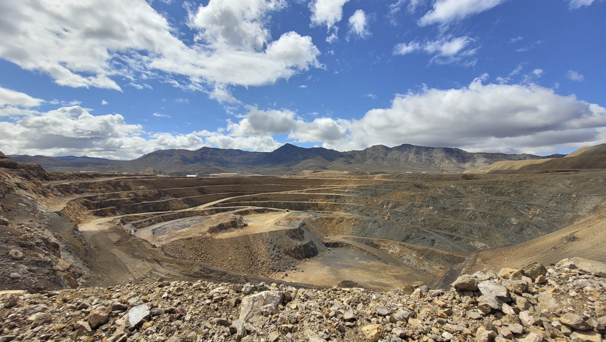
Stockpile measurement needs a defined boundary and a base beneath the visible
pile.
Pix4D's base-surface documentation
distinguishes fully visible boundaries from piles partly hidden by walls or
adjoining material. That choice affects how volume is calculated.
Request the pile outline and base assumption with the number. A repeat inventory
should retain the same pile identifiers and explain any changed calculation
inputs. If material moved during capture, ask how the reporting date and
quantity were reconciled. A volume-to-mass conversion also needs a density
input; the aerial surface alone does not supply it.
Use the
mining drone inspection guide
when the job also covers highwalls or haul roads. Those tasks need geotechnical
or maintenance interpretation beyond an inventory calculation.
Solar energy
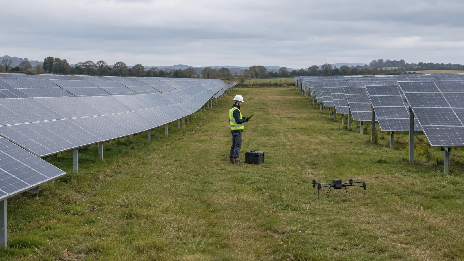
At solar plants, the useful output is a finding associated with the correct
module or electrical grouping. The
IEA PVPS operation and maintenance report,
section 4.1.1, explains that aerial thermal assessment depends on sensors,
measurement conditions, and processing. It recommends ground-data cross-checking
and auxiliary measurements where needed to improve diagnosis and limit false
positives.
Supply a current plant layout and request paired visual and thermal evidence for
findings. Have the provider document capture conditions and the plant's
operating state. Agree which observations require electrical testing or another
follow-up before repair decisions.
A thermal report can guide maintenance without proving a particular amount of
recoverable generation. If an offer includes an energy-loss estimate, ask for
its calculation and connection to the plant's operating data. Confirm the result
after any corrective work before attributing a production gain to the
inspection.
Oil and gas
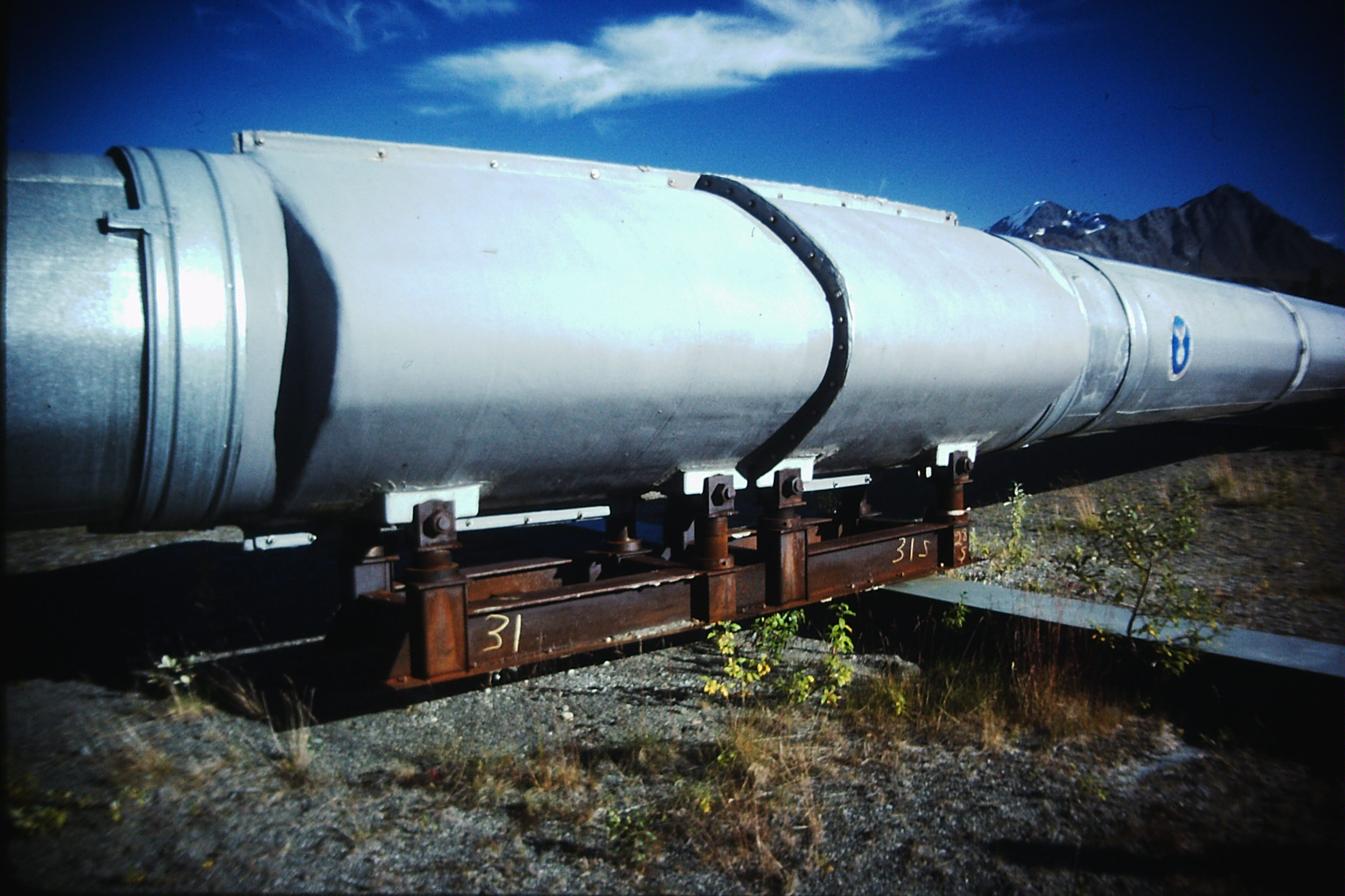
Decide whether the job is a visual patrol or a gas measurement campaign. The
pipeline inspection workflow guide
explains the different handoffs for visual, thermal, and methane work.
For methane, concentration and emission rate are different outputs.
DOE NETL's methane measurement guidelines,
section 5.2.2, describe combining concentration observations with wind
measurements and plume modeling to estimate mass emissions. They also identify
sensor configuration, flight parameters, and weather as factors affecting
detection.
Ask the provider to state whether it will locate an apparent source, measure
concentration, or estimate a rate with uncertainty. Specify units and retain the
relevant measurement conditions. A non-detection should be reported with the
method's limits; it cannot establish that emissions were absent at every other
time. NETL's document addresses marginal conventional wells, so its program
requirements should not be generalized to every pipeline or facility.
Transportation infrastructure
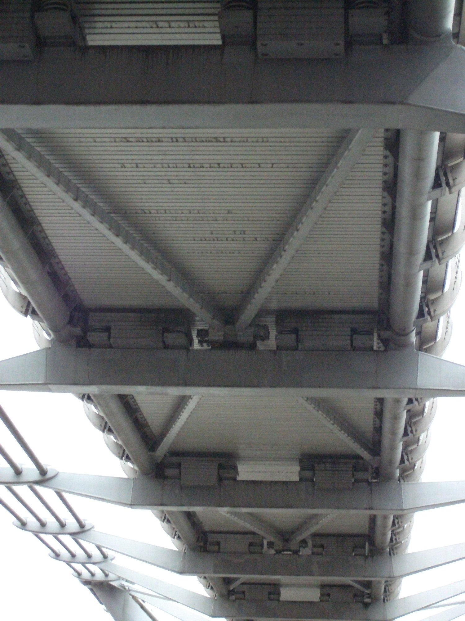
Bridge inspections illustrate why access to a better viewpoint is only part of
the job. The
FHWA's National Bridge Inspection Standards guidance,
questions 313-1 and 313-2, says advanced technologies supplement inspection
personnel and methods. It identifies tasks that drone imagery cannot address,
including tactile examination such as sounding or hammering a member.
Have the responsible inspector specify the components and views needed. Connect
each image to a member identifier and record obscured or unexamined areas. The
buying question is which parts of the inspection the flight will support and
which still need another access or examination method. A gallery alone is not a
completed structural assessment.
For these commissions, begin by separating documentation from presentation.
Recommended deliverables for an exterior-condition assignment include originals
organized by elevation or roof area, capture dates, and a list of unobserved
surfaces. For a marketing film, agree framing, sequence, aspect ratio, editing,
and permitted uses instead.
FHWA's distinction between image products and interpreted inspection information
also provides a useful boundary here, applied as editorial judgment: a visual
record does not by itself settle hidden condition, repair scope, or insurance
coverage. Define who supplies those conclusions. Buyers should review a sample
against the actual brief rather than infer inspection capability from a
cinematic portfolio.
Logistics and healthcare supply chains
Delivery requires the whole transport chain to work, including loading,
dispatch, flight, receipt, and exception handling. For a proposed service, ask
for a trial covering the actual package class and recipient handoff. Document
what happens when a delivery cannot be completed and how the sender learns the
outcome.
The
FAA's package-delivery guidance
identifies Part 135 as the U.S. pathway for small drones carrying another
party's property for compensation beyond visual line of sight. Authorization and
operating scope are therefore material procurement inputs. A demonstration at
one location does not establish service availability on your route. Medical
cargo needs its own handling requirements in the brief; an aerial delivery
record alone is not evidence that those requirements were met.
Define what the result can prove
Before commissioning, separate three questions: what was observed, what was
measured, and what was inferred. This is a recommended review practice drawn
from the different technical limits above.
An observation might identify a visible mark on a component. A measurement might
report a modeled stockpile volume using a named base. An interpretation might
recommend a maintenance visit. Keep them connected, while retaining enough
detail to revisit the interpretation if new information arrives.
Ask for limitations at the same level of detail as the result. For a map,
identify unchecked or missing areas. For a thermal finding, retain the operating
context. For a gas report, identify the measurement window and relevant
detection limits. Avoid treating a blank part of a report as confirmation that
nothing was wrong there.
Where a decision depends on a numerical tolerance, agree how it will be checked
before flight. The provider should demonstrate suitability for that task using
the delivered data and the agreed method, rather than rely on a broad label such
as “survey grade.”
Commission a pilot with a measurable handoff
Start with one bounded task and a named recipient. For example, a quarry could
commission a single inventory cycle for identified piles, require reproducible
boundaries and bases, and have its inventory team review the output before
agreeing to recurring surveys. This is an illustrative project design, not a
reported customer result.
Set the acceptance criteria around work the recipient can verify:
- Required areas or components are either covered or explicitly listed as
missing.
- The recipient can open the agreed files and locate each reported item.
- Measurement inputs, units, and checking results accompany numerical outputs.
- Questions and corrections have an assigned owner and response deadline.
- The final result arrives in time for the operational decision.
Track the full effort for the trial: preparation, site coordination, capture,
processing, specialist review, corrections, and delivery. If the business case
depends on savings, compare those observed costs with the existing method for
the same scope and quality. Do not count an attractive flight demonstration as
proof of reduced downtime or labor.
The
drone inspection scope-of-work guide
provides a more detailed way to document responsibilities, outputs, exclusions,
and rework terms.
Questions to settle before recurring work
Ask the provider and the internal recipient to resolve these points together:
- Which decision will this service support, and who accepts the result?
- What must the owner supply before mobilization, including layouts, references,
and access arrangements?
- Which result is directly observed, which is calculated, and which requires
specialist judgment?
- What conditions trigger a postponement, incomplete result, or repeat visit?
- Can the owner retain and reopen originals, measurements, and reports after the
service ends?
- Which operating permissions apply to this exact location and activity?
Expand the program after a trial demonstrates a usable handoff. If the result
cannot support the intended decision, revise the scope, collection method, or
interpretation before buying more coverage.
Source notes
Last checked: September 9, 2026.