On This Page
Define the decision and inspection boundary
Start with a purpose such as: “Provide an indexed visual record of the listed
exterior components so the maintenance team can select locations for closer
examination.” That purpose is narrower than certifying structural condition,
measuring movement, or specifying repairs. Name those additional services
separately when they are required.
There is a useful procurement precedent in
FAR 37.602, which directs federal
agencies toward required results and measurable performance standards. It is a
federal acquisition provision, not a rule automatically governing a private
inspection contract. The practical drafting lesson is to specify what the
recipient must be able to use and assess.
Define the inspection unit before requesting a percentage of coverage. A
building, a roof zone, a tower attachment, and one face of a beam are different
units. Attach a marked drawing and component register with stable identifiers.
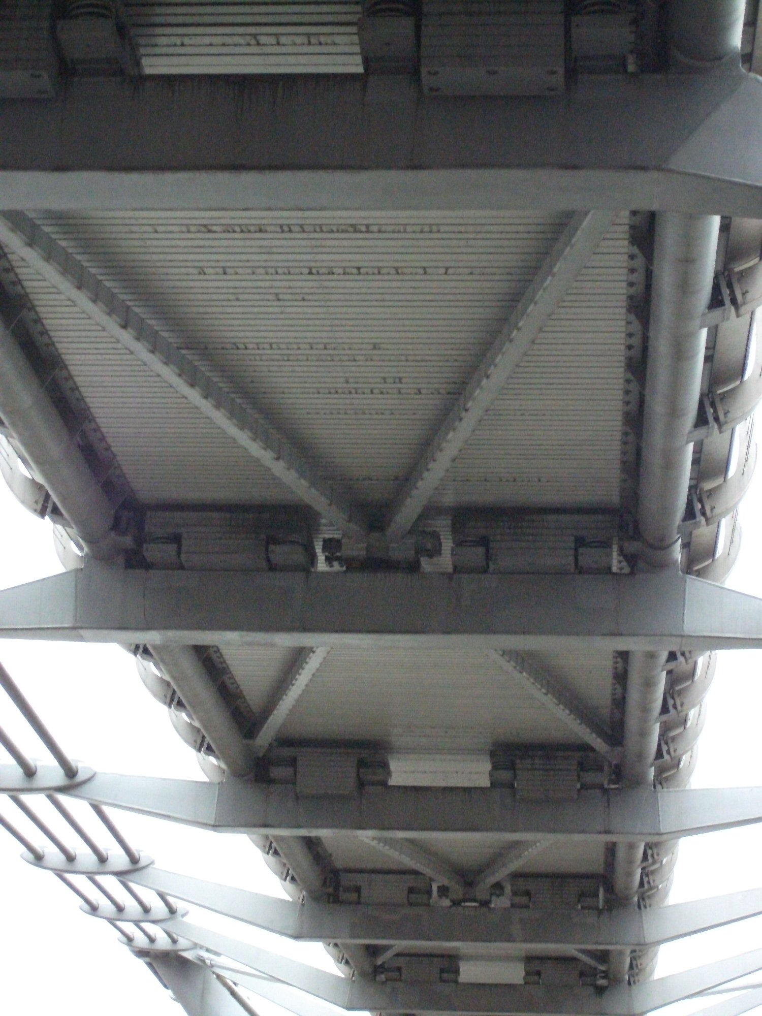
If the underside and both sides matter, list them; “inspect the bridge” does not
identify those views.
Also divide responsibility into three tasks: capture, interpretation,
and acceptance. State who collects the imagery, who evaluates the
observations, and who decides whether the contracted package is complete. If an
engineer or specialist must provide a conclusion, name the required discipline,
deliverable, and applicable qualification. Do not assume a flight service
includes that work.
Issue the same information package to each bidder and identify its revision.
Include:
- Asset definition: site location, boundary, asset IDs, drawings, required
surfaces, and areas excluded from the assignment.
- Inspection purpose: conditions of interest, known problem locations,
previous reports, and the action the results will support.
- Site access: entry arrangements, launch locations, escorts, operating
hours, nearby activity, and who can arrange closures or shutdowns.
- Collection constraints: obstructions, lighting concerns, restricted areas,
weather dependencies, and any required operating state of the asset.
- Data destination: the recipient's software, a sample import file, required
naming and coordinate conventions, and allowed transfer channels.
- Commercial boundaries: the field window, delivery milestones, requested
options, review period, retention period, and responsibility for delays.
Where information is missing, request a stated assumption or a priced
preliminary visit. An undisclosed assumption about access or available drawings
makes bids difficult to compare.
Assign the provider a feasibility review before mobilization. For U.S.
operations, the
FAA's commercial-operator guidance
describes the Part 107 pathway and operations that may need waivers or airspace
authorization. Require the proposed operating basis and any approval dependency
in the schedule. A property owner's permission to enter the site does not
resolve every flight requirement.
The owner should arrange site cooperation; the provider should identify flight
constraints and its go/no-go process. Record who can stop work and how a weather
or access interruption changes the schedule and charges.
Turn deliverables into checks
Replace “high-resolution photos and a report” with a deliverable schedule. The
following table is an editorial drafting aid, not an industry-wide
specification. Its checks translate the results-based approach in FAR 37.602
into an inspection handoff; project-specific quantities and technical limits
must be agreed before award.
Scroll horizontally to compare all columns.
Keep the coverage register separate from the observation register. The first
shows where usable evidence exists; the second records what someone noticed in
it. A location without a reported observation may still be unassessed.
For example, suppose a hypothetical assignment lists 120 component faces. Usable
imagery covers 108, seven are obstructed, and five are inaccessible. Usable
coverage is 108 ÷ 120 × 100 = 90%. All 120 faces have been accounted for, but
that is not 100% usable coverage. These are illustrative numbers, not a
performance benchmark. Agree how the remaining 12 will be handled before calling
the service complete.
Define the review sample as well. State whether the recipient will inspect every
record or a named sample, how that sample is selected, and what failure expands
the review. Require a replacement or correction process for missing files,
incorrect asset IDs, and unusable imagery attributable to the provider. Treat
newly discovered access restrictions through the agreed change process.
Match the method to the claim
Visual detail needs a demonstration
A megapixel count does not settle whether a particular condition will be
visible.
FHWA's controlled-environment bridge-imaging research
examined exposure, shutter settings, stabilization, distance, wind, and
lighting. It also describes camera imagery as supplementing inspection
techniques that include hands-on capabilities.
Translate that finding into a project trial: ask the provider to demonstrate the
requested feature visibility on a representative, owner-approved area before
completing the full capture. Record the feature size or reference target,
viewing angle, distance, and conditions used. Do not turn one laboratory
distance or camera specification into a universal promise of defect detection.
The scope should distinguish identifying a candidate condition from
confirming its cause, depth, severity, or structural significance. Require an
explicit “not assessed” result where the method cannot answer the question. Our
explanation of
what drone inspection evidence can prove
develops those distinctions for owners choosing follow-up work.
Thermal measurements need more than a color image
If temperature values are part of the purchase, require radiometric files that
retain the data used for temperature analysis, rather than only screenshots of a
color palette.
FLIR's temperature-measurement documentation
illustrates the difference between adjusting the display scale and setting
measurement parameters. Define the acquisition settings to retain, the relevant
asset operating conditions, the interpretation method, and the analyst's
responsibility. Ask how apparent anomalies will be checked.
FLIR's emissivity guidance
explains how surface properties and reflected radiation affect temperature
readings, particularly on reflective materials. Specify how those effects will
be addressed. A bright patch in a thermal palette is not, by itself, a confirmed
fault or a sufficient basis for a repair order.
Mapping accuracy needs its own test
When the inspection includes coordinates, dimensions, or repeat surveys, state
the units, coordinate and vertical reference, required accuracy, and independent
check method. Have the responsible technical reviewer define the checks
appropriate to the intended decision.
USGS calibration guidance
explains that control-point accuracy and tie-point quality contribute to
geometric accuracy regardless of image ground sample distance. Specify image
detail and delivered measurement accuracy separately. If change between visits
matters, also require a consistent reference and a method for distinguishing
actual change from measurement uncertainty.
Adapt this example scope
The following is an illustrative starting point for a visual documentation
assignment. Its deadlines are sample commercial terms, not typical turnaround
claims. Before issuing it, attach the actual asset register, drawings, sample
files, feature-visibility criterion, and pricing schedule. Add asset-specific
inspection requirements through the responsible specialist.
Purpose and boundary. The provider will document the exterior component
faces listed in Schedule A to support the owner's selection of locations for
closer examination. Coverage is limited to the views shown on Drawing B. Thermal
assessment, concealed-condition assessment, dimensional certification,
structural rating, and repair design are excluded unless added as separate
services.
Preparation. The owner will provide the current drawings, prior findings,
site contact, entry arrangements, and known operating restrictions before the
feasibility review. The provider will identify missing inputs, proposed capture
methods, approval dependencies, planned viewpoints, and any surfaces unlikely to
be captured. The owner will confirm the revised coverage schedule before
mobilization.
Initial capture review. Before full collection, the provider will submit a
representative context-and-detail image set for the technical reviewer's
assessment against the feature-visibility criterion in Schedule C. Acceptance of
this sample establishes the agreed image requirement under its stated
conditions; it does not waive the requirement for usable imagery elsewhere.
Coverage and records. Every required component face will receive a coverage
status. Each reported observation will reference its asset ID, view, capture
time, and original image filename. Annotations will be delivered separately from
unchanged originals. Unseen or unusable areas will be identified with the reason
and proposed follow-up; they will not be described as defect-free.
Delivery and review. The provider will deliver original images, a CSV
coverage register, a CSV observation register, and a PDF summary within five
business days after the final authorized field visit. The owner will return one
consolidated review within five business days of receipt. Rejected items will
identify the unmet requirement; the parties will agree a correction deadline and
record acceptance in writing. Acceptance of the files confirms delivery against
this scope, not a finding that the asset is safe. These time periods must be
adjusted to the actual project.
Exceptions and additional work. The provider will notify the owner when
conditions prevent the agreed coverage or image quality. The parties will
identify the affected items and decide whether to reschedule, use another
method, or amend the scope. Additional assets, specialist diagnosis, or newly
requested formats require an agreed scope and price change. Responsibility for
repeat visits will follow the cause of the shortfall and the agreed pricing
schedule.
Data use and retention. The agreement will identify ownership and permitted
uses of originals, processed files, and findings; authorized recipients;
approved hosting and transfer arrangements; and the archive retention end date.
Portfolio use, model training, and onward sharing require separate express
permission. The provider will supply the agreed export before access to any
hosted viewer ends.
For suspected urgent conditions, add a separate escalation clause naming the
recipient, communication channel, response procedure, and time to notify. Do not
leave urgent findings waiting for the final PDF.
Compare proposals and close the handoff
Ask each bidder to return a line-by-line response to the deliverable schedule:
included, excluded, conditional, or separately priced. Separate mobilization,
collection, processing, specialist interpretation, repeat visits, hosting, and
optional methods so the commercial comparison follows the same scope. State
which accepted milestone permits an invoice, including how partial delivery and
outstanding corrections affect payment.
Before selecting a provider, resolve these questions:
- Can you show a sample handoff in which one finding can be traced from the
report to an original image and the correct asset face?
- Who interprets the images, what relevant qualifications do they have, and
which conclusions are outside their assignment?
- What demonstration will establish usable detail under this site's conditions?
- What happens when a listed surface cannot be captured, and which party pays
for a return visit?
- Can we use the original files and export the findings after a hosted-service
term ends?
- What exact event constitutes acceptance, and how are disputed items corrected?
At closeout, reconcile the registers, verify the agreed files and imports, and
record outstanding limitations alongside accepted work. If the remaining
question needs hands-on examination, a different sensor, or specialist judgment,
commission that next task explicitly. The scope has done its job when the owner
knows what was assessed, what remains unresolved, and what the delivered
evidence can support.
Source notes
- FAR 37.602, Performance work statement:
federal acquisition provision supporting requirements framed around results
and measurable performance. Used as a drafting precedent, not a
private-contract mandate.
- FAA, Certificated Remote Pilots including Commercial Operators:
official U.S. guidance on the Part 107 pathway and operating approvals.
- FHWA, Controlled-Environment Testing of UAS Digital Camera Sensor Specifications and Operational Parameters for Bridge Safety Inspections:
government research on image-quality variables and the limits of camera-based
inspection support; findings are bounded by the tested conditions.
- FLIR, How Does Emissivity Affect Thermal Imaging?:
manufacturer technical explanation of emissivity and reflected-temperature
effects, not an asset-specific diagnostic standard.
- FLIR G series, Measuring temperatures:
manufacturer documentation distinguishing radiometric measurement, display
scale, and measurement parameters; exact controls are specific to the
documented camera series.
- USGS, Guidelines for Calibration of Uncrewed Aircraft Systems Imagery:
2023 government technical guidance on calibration, control, and data quality.
Last checked: September 7, 2026.