On This Page
Define the inspection boundary
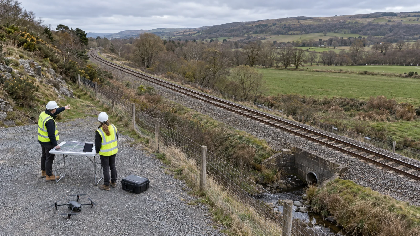
Start with the intended action: investigate a drainage obstruction, compare an
embankment after a storm, document a structure or update a vegetation-management
plan. Network Rail lists earthworks, drainage, structures, overhead equipment
and vegetation among its aerial survey applications. Its
Air Operations page
describes a mixed helicopter and drone operation, so those uses should not be
read as a capability guarantee for any proposed drone.
Separate aerial screening from the inspection duty it supports. For U.S. track
covered by
49 CFR 213.233,
visual inspections are made by a designated person on foot or from a vehicle,
with other inspection devices permitted as supplements. A provider's aerial
coverage claim does not by itself establish compliance with that provision.
Internal rail examination is another distinct task.
49 CFR 213.237
sets internal rail inspection requirements for covered track and defines a valid
search in terms of functioning equipment and qualified interpretation. An
ordinary aerial photograph of a rail surface cannot establish that the rail
interior was examined.
The commercial scope should therefore name both the deliverable and its limit.
“Locate visible drainage obstructions for maintenance review” is a clearer
assignment than “inspect the railway.” The broader
drone inspection scope-of-work guide
explains how to turn that boundary into coverage, delivery and rework terms.
Build a corridor segment schedule
A route line on a map is only the starting input. Ask the railway owner to
supply the current asset register, track identifiers, distance references,
relevant drawings, previous findings and access arrangements. Chainage is
distance measured along a defined route; agree its origin, units and direction
before using it to locate observations.
For each segment, record the start and end references, individual tracks, assets
in scope and surfaces or features that must be visible. Include the coordinate
reference system for spatial files and the owner's method for resolving
discrepancies between map coordinates, asset IDs and distance markers. A point
between parallel tracks is not enough to identify which component needs
attention. Ask the receiving team to resolve one sample location using the
proposed fields before accepting the naming convention.
Then have the operator assess how the segment can be flown. The schedule should
identify launch and recovery locations, crew access, potential obstructions,
relevant airspace, communication arrangements with the railway and conditions
that require postponement or stopping. Ask the owner to identify the applicable
protections around trains, overhead wires and other energized equipment. A
generic clearance distance is not a substitute for that site's arrangements.
Railway permission and aviation permission serve different purposes. Network
Rail, for example, restricts flying for its organization to its approved
suppliers and trained in-house pilots. That is an infrastructure-owner policy,
not a universal aviation rule.
For U.S. operations under Part 107, the FAA identifies departures from
visual-line-of-sight requirements as matters for an applicable waiver. Its
waiver guidance
also asks applicants to describe the flight area, containment, aircraft and
operational risks. A long-range radio link or remote docking system does not
establish permission to fly the proposed route.
If the proposed U.S. corridor work needs that relief, the Institute's guide to
preparing a Part 107 BVLOS waiver application
connects the route description to the safety evidence, crew procedures, and
supporting records the operator must prepare. Use it to identify gaps before
committing to the segment schedule.
Agree segment boundaries after this feasibility review. Different access points,
changing visibility or an isolated structure may require separate capture tasks
even when the railway itself is continuous. Require the bidder to show how those
tasks fit the available working windows, rather than quoting only distance per
flight.
Match capture methods to asset questions
An overhead mapping pass and a component-detail pass solve different problems.
Photogrammetry reconstructs geometry from overlapping images; an orthomosaic
places images into a geometrically corrected map. Close or oblique photographs
can preserve views that an overhead map does not show. USGS
calibration guidance
explains how flight pattern, overlap, calibration and ground control interact in
producing spatial data.
Use a task schedule like the following to review proposals. These are suggested
procurement checks, not prescribed railway inspection standards; the responsible
railway specialist must set the detail and tolerances needed for the intended
decision.
Scroll horizontally to compare all columns.
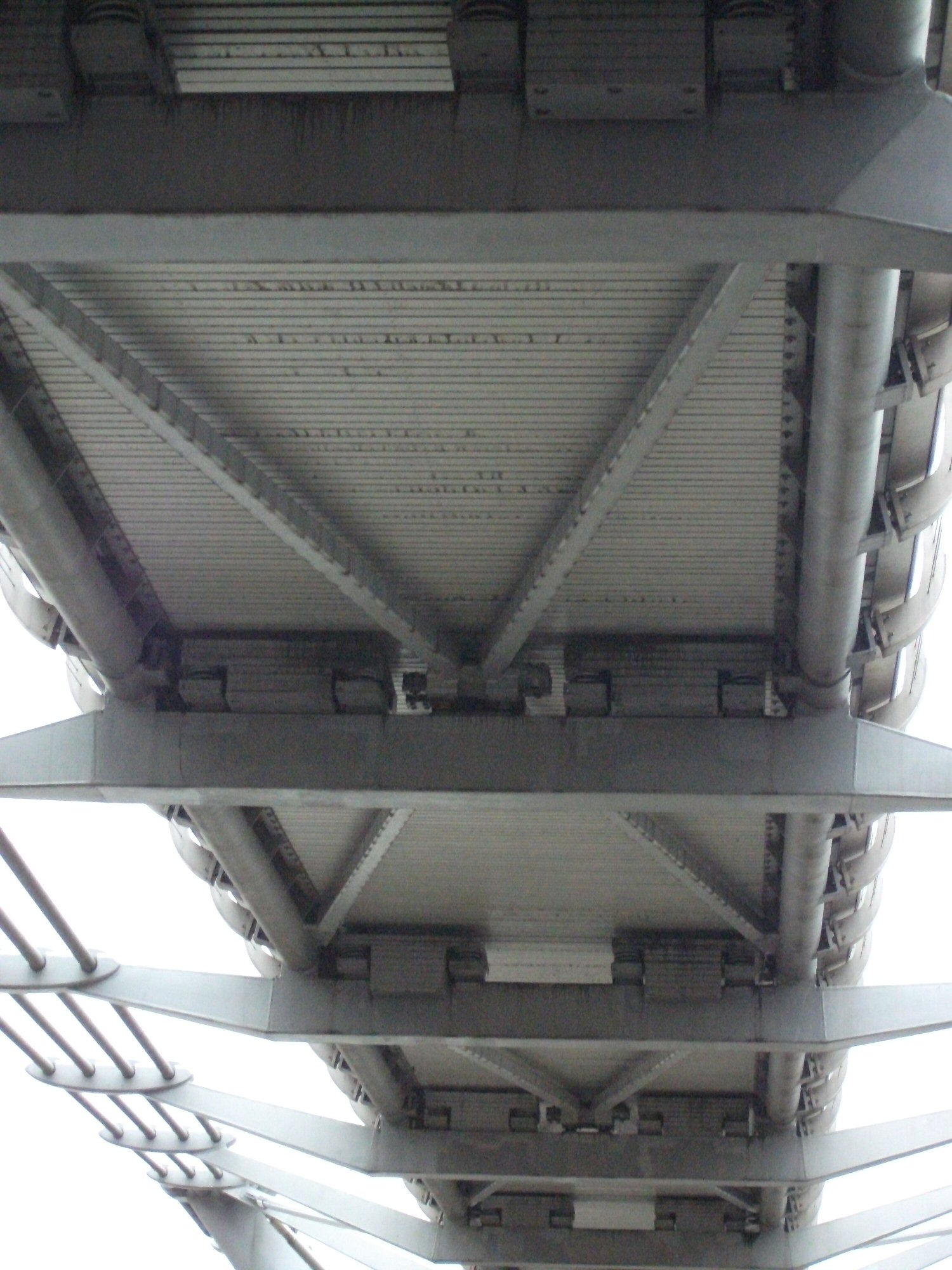
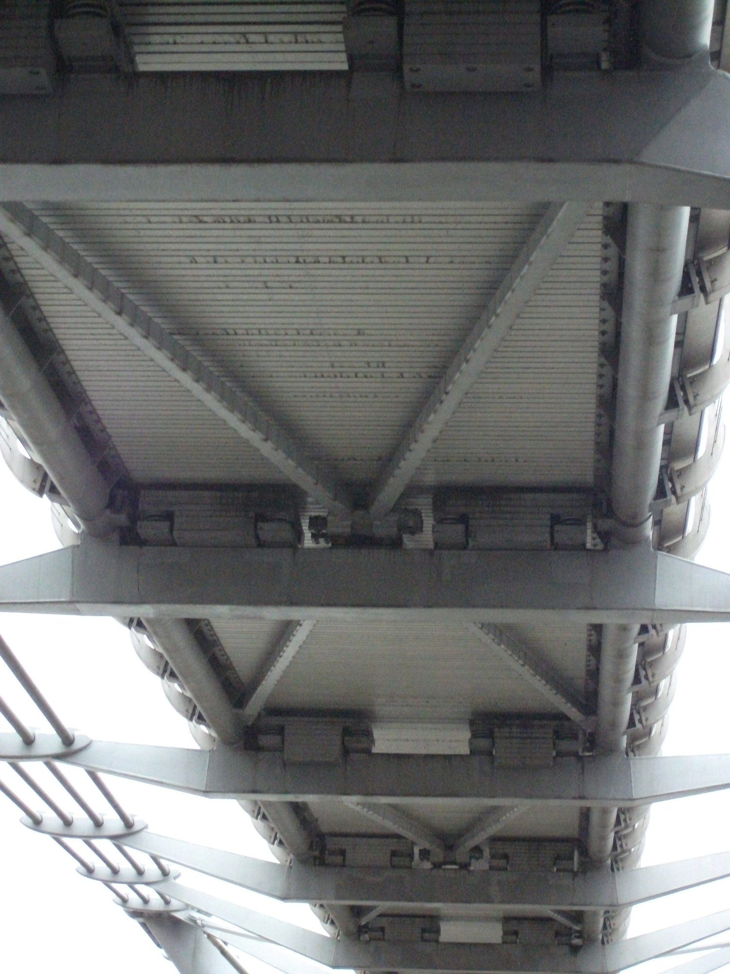
For bridge work within the corridor, use a separate element schedule. The
bridge inspection drone guide
explains why access beneath a deck and visibility of individual faces change the
capture problem.
Thermal inspection also needs its own question and interpretation method.
Network Rail reports using thermal and visual imaging in its aerial program.
That establishes a use case, not proof that every hot-looking feature is
defective. Require the provider to state the operating conditions, retained
measurement data and follow-up needed for each proposed thermal task. The
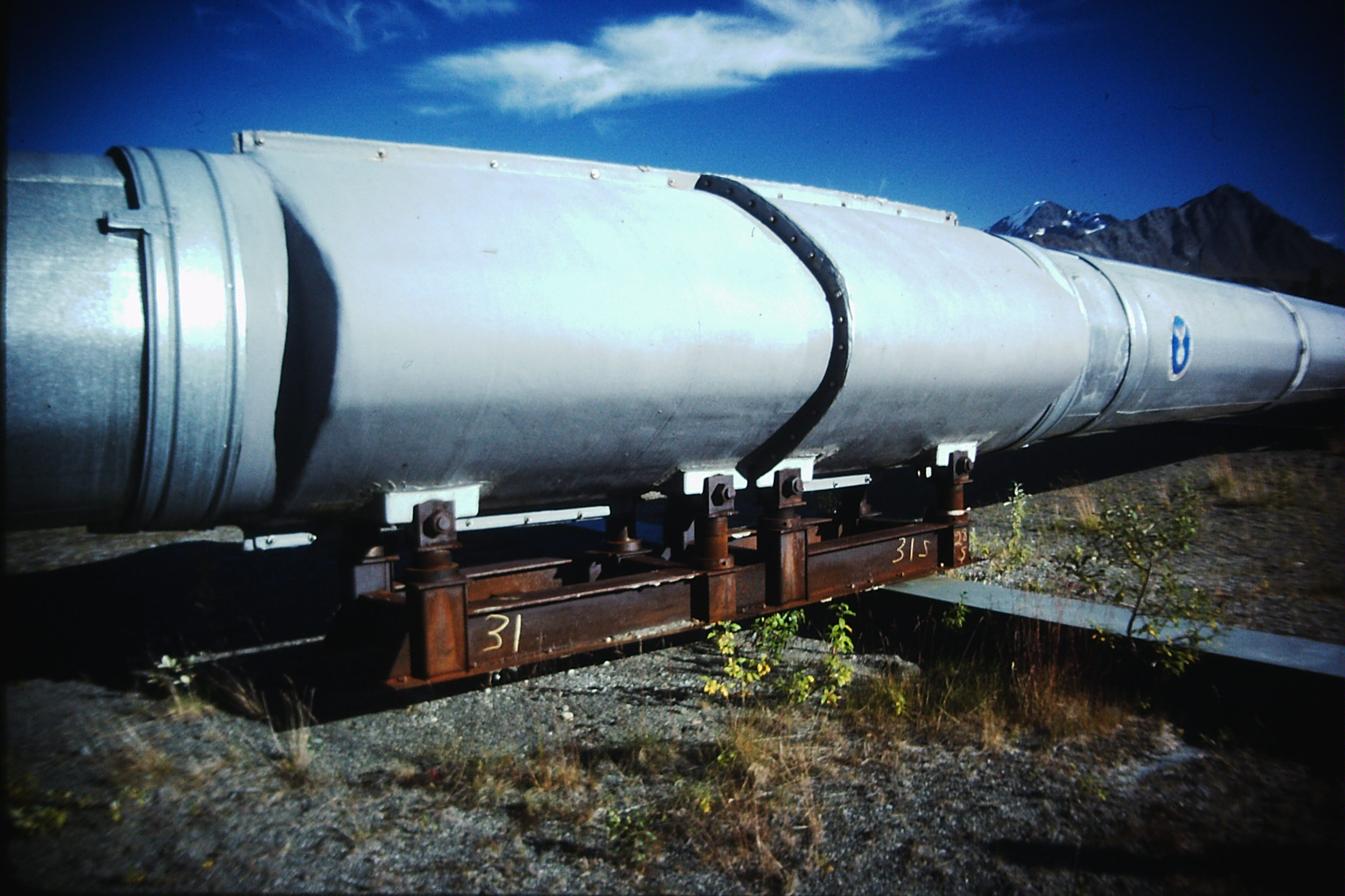
pipeline inspection workflow guide
offers an adjacent corridor example of keeping sensor outputs and diagnostic
claims separate.
For dimensional work, distinguish image detail from accuracy. Ground sample
distance describes the ground represented by a pixel; it is not a bound on
coordinate error. USGS emphasizes control and tie-point quality regardless of
pixel size. Ask for the coordinate system, control method, independent check
results and relevant uncertainty with each measured deliverable. Agree how small
a change the project needs to distinguish before commissioning repeat surveys.
Turn captured data into asset records
Use a short representative capture before collecting the entire route. Have the
receiving team open the original files, locate the correct assets and judge
whether the required features are readable. Include a difficult part of the
assignment, not only the easiest open stretch. Resolve unsuitable viewpoints or
ambiguous identifiers while the collection plan can still change.
After capture, preserve originals and associate observations with them. A
proposed observation record should contain:
- A stable observation ID, the owner’s asset ID, track identifier and route
distance reference.
- Capture time with time zone, map location and the relevant view or component
face.
- Original file references, with annotations stored separately or clearly
identified.
- The observed condition, any measurement method and the limit on
interpretation.
- Reviewer, review date, requested follow-up and the owner's resulting action
reference.
Agree export fields with the receiving maintenance or geographic information
system before mobilization. Require a sample import: one accepted observation
should open the correct image and point to the correct asset without manual
reconstruction. Specify access controls, data ownership, retention and exports
that remain usable when hosted access ends.
Automated detection adds a review stage. Europe's Rail describes a
railway asset inspection prototype
that creates reference orthophotomaps and uses image segmentation to identify
differences in trackside assets. Its August 2026 account identifies a
low-traffic regional-line setting and further testing in other environments. It
does not establish a general detection rate for a buyer's corridor.
For any proposed automated service, ask which defect classes it covers, which
conditions it excludes and how performance was assessed on representative data.
Request separate results for missed defects and false alerts, with the reference
inspection method identified. Require review of both alerts and a sample of
non-alerted areas. Keep algorithm output distinguishable from the railway
specialist's assessment.
Measure delivery and expose missing coverage
Measure completion against the agreed task list. Keep “captured,” “usable for
the assigned question,” “reviewed” and “actioned” as separate statuses. An image
can exist without supporting the required inspection, and a reviewed observation
can remain open for field investigation.
For asset work, define usable coverage as required asset-view pairs accepted as
usable divided by all required asset-view pairs. As a hypothetical example, if
90 of 100 specified views are usable, coverage is 90%, with ten views still
unresolved. That percentage describes delivery completeness; it does not
describe the probability of detecting defects or prove that any asset is safe.
For continuous mapping, report accepted corridor sections against the agreed
route length and width, while listing gaps separately. Avoid counting overlap
between flights twice. Do not use a high overall coverage percentage to hide the
absence of a critical location.
The handover should include originals, the coverage register, observations,
agreed spatial outputs, processing and quality information, and an
unresolved-item list. Each unresolved item needs a reason and a proposed next
step: recapture, another inspection method or a decision by the owner to change
the scope. Confirm who pays for a repeat visit when a promised view is unusable.
Agree urgent notification separately from final delivery. A potentially
consequential observation should reach the railway's named contact through its
agreed escalation process, with enough location information to act. The
inspection provider should not invent an operational restriction or a
return-to-service decision outside its authority.
Questions to resolve before awarding the work
Ask competing providers to respond to the same segment and deliverable schedule:
- Which listed questions can your method answer, and which require another
method?
- What owner permissions and aviation approvals apply to the exact proposed
operation?
- Can you demonstrate usable detail at the intended working positions and under
representative conditions?
- Who interprets findings, and how are uncertain or urgent observations handled?
- Can our team import a sample record and retrieve its original evidence?
- What remains payable if access, weather or image quality prevents completion,
and what does rework include?
Compare mobilization, capture, processing, specialist review, return visits and
ongoing data access on that common basis. Require bidders to identify
assumptions about working windows and owner-provided access, since a price based
on uninterrupted collection is not comparable with one that includes repeated
mobilization. A per-mile price becomes useful only after the included work and
exclusions match.
Begin with a bounded segment that includes the difficult asset types and the
intended handover. Expand only after the owner can use the delivered records,
reconcile missing coverage and assign follow-up. That demonstration gives the
buyer a practical basis for purchasing the rest of the corridor.
Source notes
Last checked: September 10, 2026.